
| Prel. Rep. | Date | Time(UTC) | Time(Local) | Lat. | Lon. | Depth | Mag. | Region | Waveform |
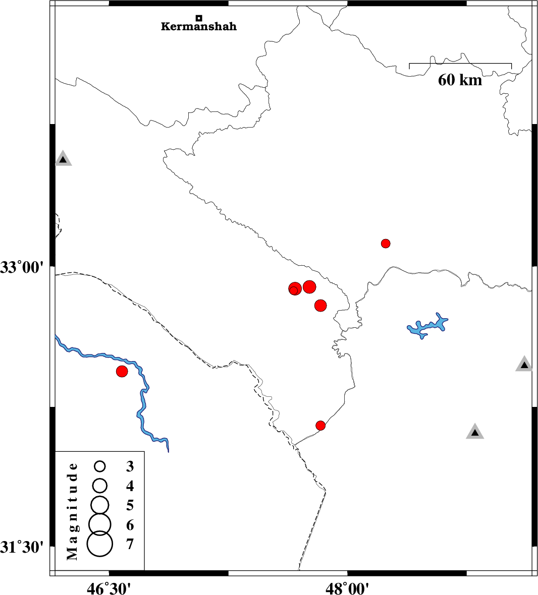
| 2012/05/18 | 02:24:56.6 | 06:54:56.6 | 32.87 | 47.66 | 14 | ML:2.3 | Ilam Province, 19 km East of Abdanan | ||
| 2012/05/15 | 15:50:50.6 | 20:20:50.6 | 32.15 | 47.83 | 17 | ML:2.7 | Ilam Province, 40 km West of Shush | ||
| 2012/05/13 | 19:28:02.4 | 23:58:02.4 | 32.88 | 47.67 | 14 | ML:3.6 | Ilam Province, 20 km East of Abdanan | ||
| 2012/05/13 | 13:48:13.6 | 18:18:13.6 | 32.89 | 47.76 | 14 | ML:3.6 | Ilam Province, 30 km South of Pol-e dokhtar | ||
| 2012/05/12 | 05:42:59.9 | 10:12:59.9 | 32.79 | 47.83 | 33 | ML:3.4 | Ilam Province, 42 km South-East of Pol-e dokhtar | ||
| 2012/05/12 | 05:24:34.3 | 09:54:34.3 | 32.44 | 46.58 | 33 | ML:3.3 | Iraq, 70 km South-West of Dehloran | ||
| 2012/05/11 | 07:09:37.4 | 11:39:37.4 | 33.12 | 48.24 | 46 | ML:2.5 | Lorestan Province, 42 km South-West of Khorramabad |