
Magnitude |
:2.5 |
| Date & Time (UTC) | 2012-05-11 07:09:37.4 |
| Date & Time (Local) | 1391/2/22 11:39:37.4 |
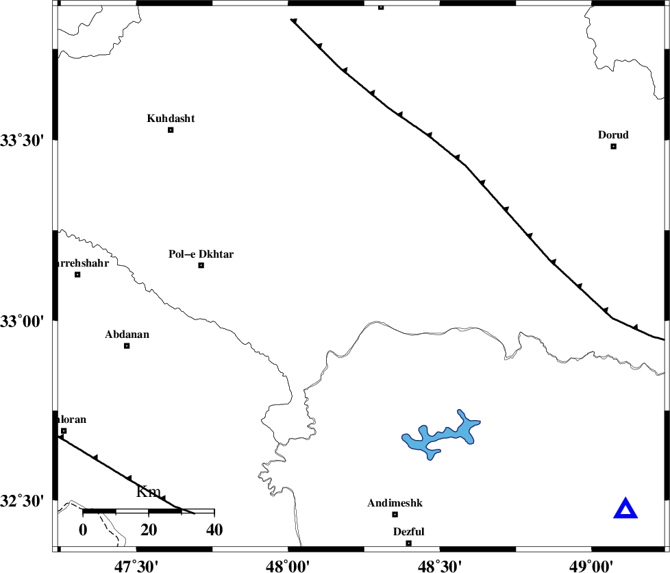
| Location | Lat:33.12 Lon: 48.24 |
| Region | Lorestan Province, 42 km South-West of Khorramabad |
Nearest Cities |
|
| 31 km South of Shoorab-e sofla, Lorestan Province | |
| 32 km South West of Daraei, Lorestan Province | |
| 38 km South East of Maeulan, Lorestan Province | |
| 38 km South of Godar-e mahmudvand, Lorestan Province | |
| 38 km South West of Badrabad-e sofla, Lorestan Province | |
| Depth | 46 km |
| Agency | |
Faults within 150 km: |
|
| HZF4 (Length: 492 km) , Distance to epicenter: 34 km | |
| BALARUD_F_Z3 (Length: 53 km) , Distance to epicenter: 36 km | |
| BALARUD_F_Z2 (Length: 58 km) , Distance to epicenter: 36 km | |
| Number of Phases | 6 |
| RMS | 0 |
| Number of Stations | 4 |
| Error in Latitude | >1.5 km |
| Error in Longitude | 2.4 km |
| Error in Depth | 2.6 km |
Download waveform in seisan format
to download seisan software Click here
to access information about IIEES stations Click here
Amplitude | ||||||||
| UID | Agency | Station | Component | Amplitude | Period | Arrival Time | Proccessing Time | Signal Clip |
| 83461 | IIEES | SHGR | E | 139.5 | 0.64 | 2012-05-11 07:10:18 | 2012-05-11 10:47:00 | n |
| 83462 | IIEES | SHGR | N | 76.8 | 0.36 | 2012-05-11 07:10:20 | 2012-05-11 10:47:00 | n |
Phase | ||||||||||||
| Agency | Station | Component | Phase Type | Phase Quality | First Motion | Observed Arrival Time | Time Residual | Loc. Flag | Input Weight | Distance | Azimuth | |
| IIEES | SHGR | Z | Pg | E | 2012-05-11 07:09:58 | 0.01 | y | 124 | 155 | |||
| IIEES | KHMZ | Z | Pn | E | 2012-05-11 07:10:03 | -0.03 | y | 174 | 66 | |||
| IIEES | KHMZ | E | Sg | E | 2012-05-11 07:10:27 | -0.04 | y | 174 | 66 | |||
| IIEES | ASAO | Z | Pn | E | 2012-05-11 07:10:10 | 0.05 | y | 229 | 46 | |||
| IIEES | ASAO | E | Sg | E | 2012-05-11 07:10:41 | 0.03 | y | 229 | 46 | |||
| IIEES | SNGE | Z | Pn | E | 2012-05-11 07:10:11 | -0.03 | y | 234 | 340 | |||