
| Prel. Rep. | Date | Time(UTC) | Time(Local) | Lat. | Lon. | Depth | Mag. | Region | Waveform |
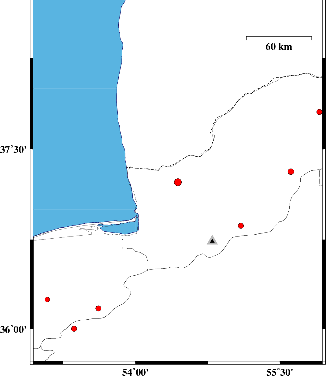
| 2015/09/11 | 13:13:37.0 | 17:43:37.0 | 37.315 | 55.615 | 14 | ML:2.8 | Golestan Province, 13 km -East of Kalaleh | ||
| 2015/09/11 | 08:13:02.6 | 12:43:02.6 | 37.227 | 54.441 | 15 | ML:3.4 | Golestan Province, 24 km North of Aq Qaleh | ||
| 2015/09/09 | 20:50:19.0 | 01:20:19.0 | 36.247 | 53.086 | 18 | ML:2.3 | Mazandaran Province, 15 km North of Pol-E-Sefid | ||
| 2015/09/07 | 11:25:04.5 | 15:55:04.5 | 37.807 | 55.91 | 14 | ML:2.6 | Golestan Province, 60 km North-East of Kalaleh | ||
| 2015/09/07 | 06:05:18.2 | 10:35:18.2 | 36.172 | 53.615 | 14 | ML:2.5 | Mazandaran Province, 58 km South of Behshahr | ||
| 2015/09/05 | 23:32:00.5 | 04:02:00.5 | 36.001 | 53.363 | 17 | ML:2.5 | Semnan Province, 30 km South-East of Pol-E-Sefid | ||
| 2015/09/05 | 05:27:49.4 | 09:57:49.4 | 36.864 | 55.095 | 14 | ML:2.5 | Golestan Province, 17 km South of Ramian |