| Prel. Rep. | Date | Time(UTC) | Time(Local) | Lat. | Lon. | Depth | Mag. | Region | Waveform |
|
|
2015/07/25
|
17:28:11.2
|
21:58:11.2
| 30.066 | 57.636 | 15 |
ML:3.5
|
Kerman Province, 59 km South-East of Kerman | |
|
|
2015/07/25
|
16:32:18.8
|
21:02:18.8
| 30.093 | 57.604 | 14 |
ML:3.1
|
Kerman Province, 55 km South-East of Kerman | |
|
|
2015/07/25
|
16:10:41.6
|
20:40:41.6
| 30.041 | 57.624 | 18 |
ML:4.8
|
Kerman Province, 59 km South-East of Kerman | |
|
|
2015/07/24
|
15:04:18.3
|
19:34:18.3
| 28.894 | 58.784 | 14 |
ML:3.9
|
Kerman Province, 48 km South-East of Bam | |
|
|
2015/07/24
|
02:51:57.0
|
07:21:57.0
| 28.757 | 58.732 | 14 |
ML:2.8
|
Kerman Province, 54 km South-East of Bam | |
|
|
2015/07/22
|
07:49:33.4
|
12:19:33.4
| 28.917 | 58.76 | 14 |
ML:3.4
|
Kerman Province, 45 km South-East of Bam | |
|
|
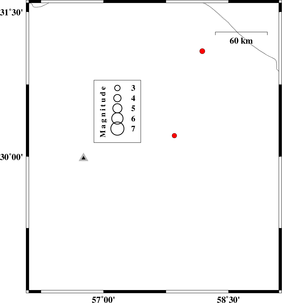
2015/07/22
|
05:38:54.9
|
10:08:54.9
| 31.351 | 57.401 | 14 |
ML:3.2
|
Kerman Province, 57 km -East of Ravar | |
|
|
2015/07/20
|
14:54:15.1
|
19:24:15.1
| 28.614 | 58.406 | 18 |
ML:2.9
|
Kerman Province, 55 km South of Bam | |
|
|
2015/07/20
|
01:22:32.6
|
05:52:32.6
| 30.055 | 57.927 | 14 |
ML:3.3
|
Kerman Province, 86 km South-East of Kerman | |
|
|
2015/07/17
|
23:48:26.0
|
04:18:26.0
| 31.328 | 56.481 | 16 |
ML:3.3
|
Kerman Province, 32 km -West of Ravar | |
|
|
2015/07/17
|
19:55:01.3
|
00:25:01.3
| 29.558 | 57.404 | 18 |
ML:2.8
|
Kerman Province, 87 km South-East of Kerman | |
|
|
2015/07/12
|
14:39:46.8
|
19:09:46.8
| 31.526 | 56.836 | 14 |
ML:2.7
|
Kerman Province, 29 km North of Ravar | |
|
|
2015/07/06
|
01:59:34.3
|
06:29:34.3
| 28.667 | 57.069 | 14 |
ML:2.6
|
Kerman Province, 65 km -West of Jiroft | |
|
|
2015/06/25
|
12:35:18.3
|
17:05:18.3
| 31.01 | 56.44 | 14 |
ML:1.9
|
Kerman Province, 25 km North-West of Zarand | |
