
Magnitude |
:2.9 |
| Date & Time (UTC) | 2015-07-20 14:54:15.1 |
| Date & Time (Local) | 1394/4/29 19:24:15.1 |
| Location | Lat:28.614 Lon: 58.406 |
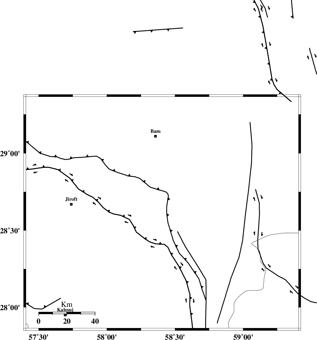
| Region | Kerman Province, 55 km South of Bam |
Nearest Cities |
|
| 26 km South of Kruk, Kerman Province | |
| 34 km North East of Dahane-ye gomrokan, Kerman Province | |
| 37 km North East of Mardehak, Kerman Province | |
| 38 km South West of Abshur-e nezamabad, Kerman Province | |
| 44 km East of Mijan-e sofla, Kerman Province | |
| Depth | 18 km |
| Agency | |
Faults within 150 km: |
|
| BAM_F (Length: 118 km) , Distance to epicenter: 17 km | |
| GOWK_F (Length: 152 km) , Distance to epicenter: 36 km | |
| SABZEVARAN_F (Length: 190 km) , Distance to epicenter: 68 km | |
| Number of Phases | 5 |
| RMS | 0.2 |
| Number of Stations | 4 |
| Error in Latitude | >3.2 km |
| Error in Longitude | 4.8 km |
| Error in Depth | 9.4 km |
Download waveform in seisan format
to download seisan software Click here
to access information about IIEES stations Click here
Amplitude | ||||||||
| UID | Agency | Station | Component | Amplitude | Period | Arrival Time | Proccessing Time | Signal Clip |
| 100136 | IIEES | KRBR | E | 74.5 | 0.32 | 2015-07-20 14:55:23 | 2015-07-21 11:03:00 | n |
| 100137 | IIEES | KRBR | N | 72.3 | 0.23 | 2015-07-20 14:55:25 | 2015-07-21 11:03:00 | n |
| 100138 | IIEES | BSRN | E | 34.7 | 0.6 | 2015-07-20 14:56:05 | 2015-07-21 11:03:00 | n |
Phase | ||||||||||||
| Agency | Station | Component | Phase Type | Phase Quality | First Motion | Observed Arrival Time | Time Residual | Loc. Flag | Input Weight | Distance | Azimuth | |
| IIEES | KRBR | Z | Pn | E | 2015-07-20 14:54:50 | 0.09 | y | 220 | 314 | |||
| IIEES | KRBR | N | Sg | E | 2015-07-20 14:55:17 | 0.08 | y | 220 | 314 | |||
| IIEES | ZHSF | Z | P | E | 2015-07-20 14:54:54 | 0.23 | y | 256 | 64 | |||
| IIEES | BNDS | Z | Pg | E | 2015-07-20 14:54:57 | -0.07 | y | 258 | 239 | |||
| IIEES | BSRN | Z | Pn | E | 2015-07-20 14:55:09 | -0.41 | y | 378 | 10 | |||