| Prel. Rep. | Date | Time(UTC) | Time(Local) | Lat. | Lon. | Depth | Mag. | Region | Waveform |
|
|
2026/02/13
|
23:34:45.1
|
03:04:45.1
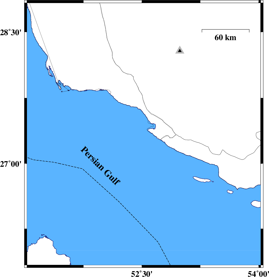
| 27.401 | 52.522 | 12 |
ML:3.1
|
Persian Gulf, 40 km South-West of Mehr | |
|
|
2026/02/13
|
20:43:14.2
|
00:13:14.2
| 27.33 | 52.525 | 12 |
ML:3
|
Persian Gulf, 43 km South-West of Mehr | |
|
|
2026/02/13
|
19:50:17.1
|
23:20:17.1
| 27.328 | 52.517 | 12 |
ML:4.4
|
Persian Gulf, 44 km South-West of Mehr | |
|
|
2026/02/13
|
19:44:33.2
|
23:14:33.2
| 27.428 | 52.623 | 12 |
ML:4.4
|
, 29 km South-West of Mehr | |
|
|
2026/02/13
|
19:30:19.0
|
23:00:19.0
| 27.36 | 52.532 | 12 |
ML:3.4
|
Persian Gulf, 41 km South-West of Mehr | |
|
|
2026/02/13
|
18:29:29.1
|
21:59:29.1
| 27.355 | 52.51 | 12 |
ML:3.3
|
Persian Gulf, 43 km South-West of Mehr | |
|
|
2026/02/13
|
17:34:26.4
|
21:04:26.4
| 27.454 | 52.608 | 12 |
ML:3.4
|
Persian Gulf, 29 km -West of Mehr | |
|
|
2026/02/13
|
16:35:48.7
|
20:05:48.7
| 27.402 | 52.615 | 12 |
ML:3.3
|
, 31 km South-West of Mehr | |
|
|
2026/02/13
|
16:24:37.2
|
19:54:37.2
| 27.346 | 52.523 | 12 |
ML:3.6
|
Persian Gulf, 42 km South-West of Mehr | |
|
|
2026/02/13
|
11:53:42.2
|
15:23:42.2
| 27.583 | 52.446 | 12 |
ML:3.6
|
Persian Gulf, 31 km South-East of Jam | |
|
|
2026/02/13
|
11:51:35.2
|
15:21:35.2
| 27.302 | 52.648 | 12 |
ML:3.5
|
Persian Gulf, 36 km South-West of Mehr | |
|
|
2026/02/13
|
11:08:36.6
|
14:38:36.6
| 27.363 | 52.486 | 12 |
ML:4.8
|
Persian Gulf, 45 km South-West of Mehr | |
|
|
2026/02/13
|
10:45:16.9
|
14:15:16.9
| 27.358 | 52.534 | 12 |
ML:3.9
|
Persian Gulf, 41 km South-West of Mehr | |
|
|
2026/02/13
|
10:33:19.0
|
14:03:19.0
| 27.371 | 52.484 | 12 |
ML:4.3
|
Persian Gulf, 44 km South-West of Mehr | |
|
|
2026/02/13
|
07:48:58.1
|
11:18:58.1
| 27.401 | 52.581 | 12 |
ML:3.1
|
Persian Gulf, 34 km South-West of Mehr | |
|
|
2026/02/13
|
00:57:48.4
|
04:27:48.4
| 27.335 | 52.516 | 12 |
ML:3.2
|
Persian Gulf, 44 km South-West of Mehr | |
|
|
2026/02/11
|
23:56:23.9
|
03:26:23.9
| 27.311 | 52.592 | 12 |
ML:3.9
|
Persian Gulf, 39 km South-West of Mehr | |
|
|
2026/02/11
|
01:56:15.8
|
05:26:15.8
| 27.304 | 52.643 | 12 |
ML:3.2
|
Persian Gulf, 36 km South-West of Mehr | |
|
|
2026/02/08
|
13:38:02.6
|
17:08:02.6
| 27.326 | 52.395 | 12 |
ML:3.3
|
Persian Gulf, 57 km South of Jam | |
|
|
2026/02/08
|
12:48:58.3
|
16:18:58.3
| 27.498 | 52.6 | 12 |
ML:3.3
|
Bushehr Province, 29 km -West of Mehr | |
|
|
2026/02/08
|
12:43:50.5
|
16:13:50.5
| 28.126 | 53.228 | 10 |
ML:3.3
|
Fars Province, 42 km South-East of Qir va Karzin | |
|
|
2026/02/08
|
12:40:17.6
|
16:10:17.6
| 27.355 | 52.447 | 12 |
ML:3.9
|
Persian Gulf, 55 km South-East of Jam | |
|
|
2026/02/08
|
06:03:42.5
|
09:33:42.5
| 27.523 | 53.02 | 12 |
ML:3.4
|
Fars Province, 13 km -East of Mehr | |
|
|
2026/02/06
|
17:54:51.6
|
21:24:51.6
| 27.145 | 53.708 | 12 |
ML:3.2
|
Fars Province, 65 km -West of Bastak | |