
| Prel. Rep. | Date | Time(UTC) | Time(Local) | Lat. | Lon. | Depth | Mag. | Region | Waveform |
| 2015/06/14 | 04:46:30.8 | 09:16:30.8 | 36.88 | 54.23 | 18 | ML:2.6 | Golestan Province, 14 km East of Bandar-e torkaman | ||
| 2015/06/10 | 02:34:16.5 | 07:04:16.5 | 35.96 | 53.42 | 14 | ML:2.8 | Semnan Province, 44 km North of Semnan | ||
| 2015/06/05 | 11:24:43.6 | 15:54:43.6 | 36.58 | 53.1 | 14 | ML:2.8 | Mazandaran Province, 4 km Sari | ||
| 2015/05/26 | 10:48:06.7 | 15:18:06.7 | 35.98 | 53.35 | 15 | ML:3 | Semnan Province, 30 km South-East of Pol-E-Sefid | ||
| 2015/05/21 | 02:17:41.6 | 06:47:41.6 | 36.85 | 54.98 | 15 | ML:2.5 | Golestan Province, 12 km East of Ali Abad | ||
| 2015/05/19 | 11:27:41.6 | 15:57:41.6 | 35.93 | 52.94 | 14 | ML:3.4 | Mazandaran Province, 23 km South-West of Pol-E-Sefid | ||
| 2015/05/18 | 10:33:19.9 | 15:03:19.9 | 36 | 53.88 | 14 | ML:2.7 | Semnan Province, 46 km South-West of Damghan | ||
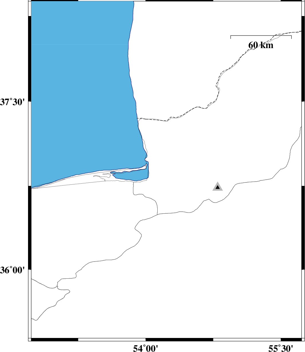
| 2015/05/17 | 15:44:28.0 | 20:14:28.0 | 37.41 | 55.6 | 30 | ML:2.4 | Golestan Province, 10 km East of Kalaleh | ||
| 2015/05/16 | 00:26:10.6 | 04:56:10.6 | 36.71 | 54.58 | 14 | ML:2.7 | Golestan Province, 19 km South-East of Gorgan |