
Magnitude |
:2.4 |
| Date & Time (UTC) | 2015-05-17 15:44:28.0 |
| Date & Time (Local) | 1394/2/27 20:14:28.0 |
| Location | Lat:37.41 Lon: 55.6 |
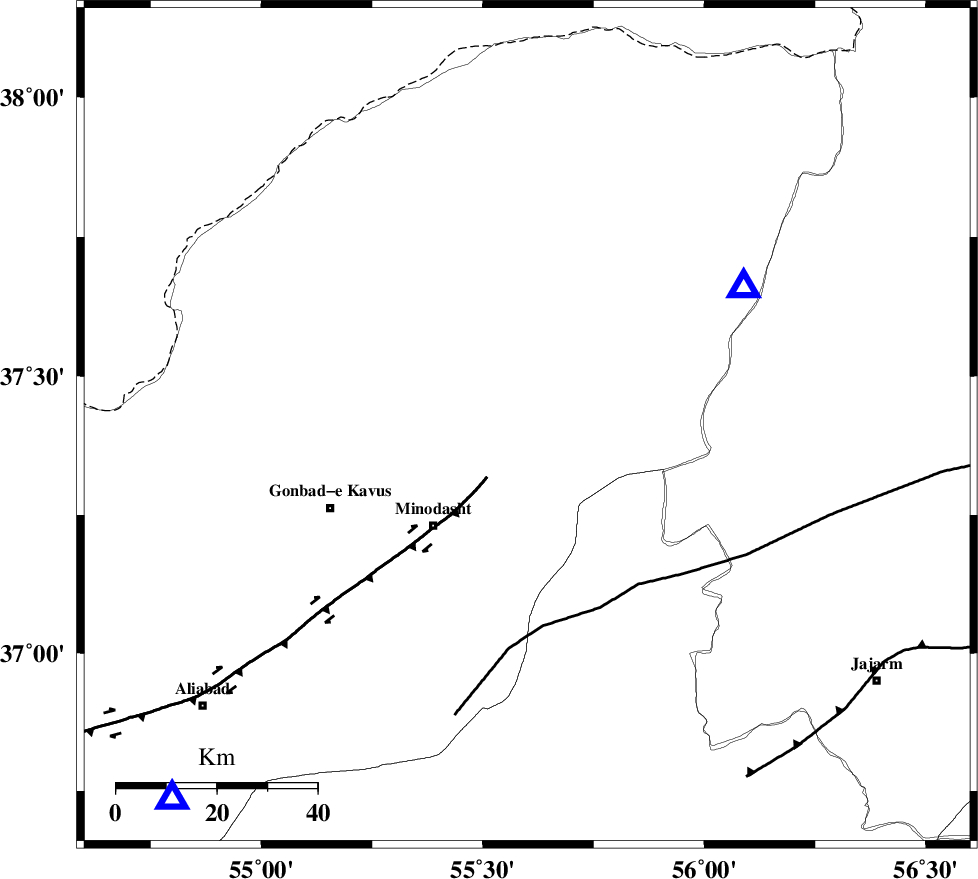
| Region | Golestan Province, 10 km East of Kalaleh |
Nearest Cities |
|
| 4 km of Ajen sangarli, Golestan Province | |
| 5 km North of Aq qamish, Golestan Province | |
| 10 km North East of Kalaleh, Golestan Province | |
| 12 km East of Tamarqarquzi-e sofla, Golestan Province | |
| 12 km South of Pashikmar, Golestan Province | |
| Depth | 30 km |
| Agency | |
Faults within 150 km: |
|
| ROBATE_QARABIL_F (Length: 168 km) , Distance to epicenter: 39 km | |
| KHAZAR_F (Length: 523 km) , Distance to epicenter: 72 km | |
| SHAVAR_F (Length: 87 km) , Distance to epicenter: 79 km | |
| Number of Phases | 6 |
| RMS | 0.1 |
| Number of Stations | 5 |
| Error in Latitude | >3.2 km |
| Error in Longitude | 3.9 km |
| Error in Depth | 3.5 km |
Download waveform in seisan format
to download seisan software Click here
to access information about IIEES stations Click here
Amplitude | ||||||||
| UID | Agency | Station | Component | Amplitude | Period | Arrival Time | Proccessing Time | Signal Clip |
| 95732 | IIEES | MRVT | E | 261.1 | 0.12 | 2015-05-17 15:44:45 | 2015-05-17 05:10:00 | n |
| 95733 | IIEES | MRVT | N | 228.1 | 0.16 | 2015-05-17 15:44:45 | 2015-05-17 05:10:00 | n |
Phase | ||||||||||||
| Agency | Station | Component | Phase Type | Phase Quality | First Motion | Observed Arrival Time | Time Residual | Loc. Flag | Input Weight | Distance | Azimuth | |
| IIEES | MRVT | Z | Pg | E | 2015-05-17 15:44:37 | -0.07 | y | 50.9 | 58 | |||
| IIEES | SHRO | Z | Pg | E | 2015-05-17 15:44:54 | 0.01 | y | 160 | 167 | |||
| IIEES | BJRD | Z | Pg | E | 2015-05-17 15:44:54 | 0.14 | y | 163 | 78 | |||
| IIEES | BJRD | E | Sg | E | 2015-05-17 15:45:13 | -0.05 | y | 163 | 78 | |||
| IIEES | TABS | Z | Pn | E | 2015-05-17 15:45:28 | -0.06 | y | 440 | 161 | |||
| IIEES | SHRT | Z | Pn | E | 2015-05-17 15:45:48 | 0.02 | y | 596 | 133 | |||