
Magnitude |
:3 |
| Date & Time (UTC) | 2015-05-26 10:48:06.7 |
| Date & Time (Local) | 1394/3/5 15:18:06.7 |
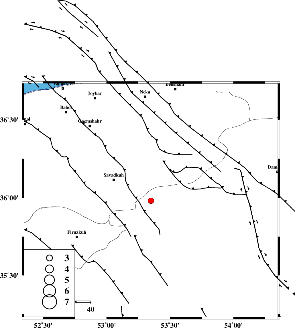
| Location | Lat:35.98 Lon: 53.35 |
| Region | Semnan Province, 30 km South-East of Pol-E-Sefid |
Nearest Cities |
|
| 13 km North of Chashem, Semnan Province | |
| 15 km East of Sangdeh, Mazandaran Province | |
| 24 km North of Shahmirzad, Semnan Province | |
| 30 km South East of Shurmast-e peyrudbar, Mazandaran Province | |
| 30 km South East of Pol-E-Sefid, Mazandaran Province | |
| Depth | 15 km |
| Agency | |
Faults within 150 km: |
|
| ATARI_F (Length: 185 km) , Distance to epicenter: 29 km | |
| N_ALBORZ_F (Length: 360 km) , Distance to epicenter: 30 km | |
| DAMGHAN_F (Length: 95 km) , Distance to epicenter: 48 km | |
| Number of Phases | 11 |
| RMS | 0.5 |
| Number of Stations | 9 |
| Error in Latitude | >8 km |
| Error in Longitude | 3.3 km |
| Error in Depth | 8.1 km |
Download waveform in seisan format
to download seisan software Click here
to access information about IIEES stations Click here
Amplitude | ||||||||
| UID | Agency | Station | Component | Amplitude | Period | Arrival Time | Proccessing Time | Signal Clip |
| 95795 | IIEES | DAMV | E | 244.1 | 0.48 | 2015-05-26 10:48:49 | 2015-05-26 12:13:00 | n |
| 95796 | IIEES | GHVR | N | 99.1 | 0.38 | 2015-05-26 10:49:24 | 2015-05-26 12:13:00 | n |
Phase | ||||||||||||
| Agency | Station | Component | Phase Type | Phase Quality | First Motion | Observed Arrival Time | Time Residual | Loc. Flag | Input Weight | Distance | Azimuth | |
| IIEES | DAMV | Z | Pg | E | 2015-05-26 10:48:28 | -0.65 | y | 131 | 253 | |||
| IIEES | DAMV | E | Sg | E | 2015-05-26 10:48:45 | 0.54 | y | 131 | 253 | |||
| IIEES | CHTH | Z | Pn | E | 2015-05-26 10:48:39 | -0.05 | y | 201 | 268 | |||
| IIEES | THKV | Z | Pn | E | 2015-05-26 10:48:42 | 0.02 | y | 223 | 269 | |||
| IIEES | SHRO | Z | Pn | E | 2015-05-26 10:48:44 | 0.37 | y | 240 | 89 | |||
| IIEES | SHRO | E | Sg | E | 2015-05-26 10:49:14 | 0.1 | y | 240 | 89 | |||
| IIEES | GHVR | Z | Pn | E | 2015-05-26 10:48:45 | -0.04 | y | 254 | 230 | |||
| IIEES | ASAO | Z | Pn | E | 2015-05-26 10:48:57 | 0.54 | y | 342 | 243 | |||
| IIEES | NASN | Z | Pn | E | 2015-05-26 10:48:59 | 0.43 | y | 356 | 188 | |||
| IIEES | YZKH | Z | Pn | E | 2015-05-26 10:49:04 | -0.96 | y | 414 | 164 | |||
| IIEES | ZNJK | Z | Pn | E | 2015-05-26 10:49:06 | -0.5 | y | 426 | 282 | |||