
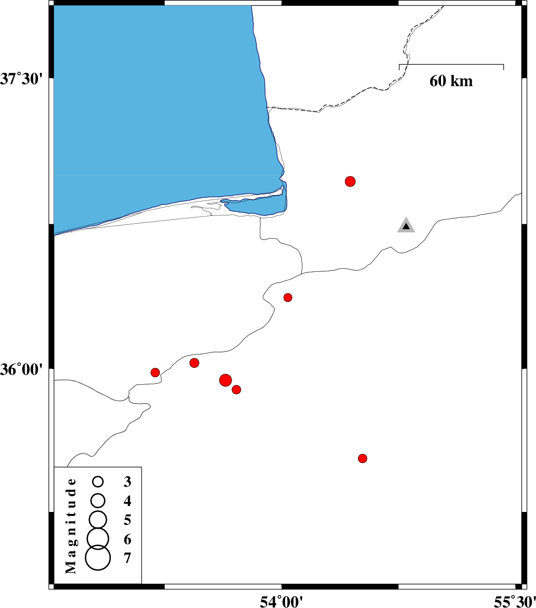
| Prel. Rep. | Date | Time(UTC) | Time(Local) | Lat. | Lon. | Depth | Mag. | Region | Waveform |
| 2014/03/14 | 18:56:49.0 | 22:26:49.0 | 36.37 | 54.04 | 18 | ML:2.4 | Semnan Province, 48 km South of Kordkuy | ||
| 2014/03/07 | 04:17:41.8 | 07:47:41.8 | 36.03 | 53.44 | 18 | ML:2.7 | Semnan Province, 36 km East of Pol-E-Sefid | ||
| 2014/03/07 | 01:20:08.7 | 04:50:08.7 | 35.89 | 53.71 | 14 | ML:2.5 | Semnan Province, 45 km North-East of Semnan | ||
| 2014/03/05 | 14:53:40.3 | 18:23:40.3 | 35.37 | 52.61 | 14 | ML:2.8 | Semnan Province, 30 km North-East of Garmsar | ||
| 2014/02/17 | 23:34:50.4 | 03:04:50.4 | 35.94 | 53.64 | 14 | ML:3.5 | Semnan Province, 47 km North-East of Semnan | ||
| 2014/02/17 | 03:12:21.6 | 06:42:21.6 | 36.97 | 54.44 | 18 | ML:3 | Golestan Province, 4 km Aq Qaleh | ||
| 2014/02/15 | 19:26:33.3 | 22:56:33.3 | 35.53 | 54.52 | 14 | ML:2.5 | Semnan Province, 72 km South-East of Damghan | ||
| 2014/02/12 | 05:07:04.7 | 08:37:04.7 | 35.98 | 53.19 | 16 | ML:2.5 | Mazandaran Province, 19 km South-East of Pol-E-Sefid |