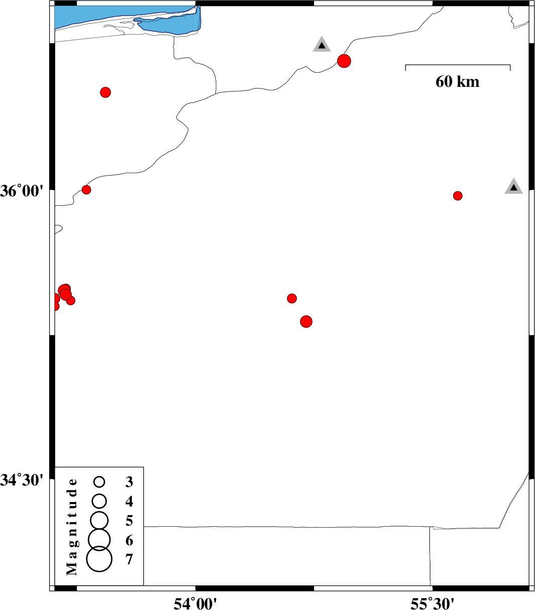
| Prel. Rep. | Date | Time(UTC) | Time(Local) | Lat. | Lon. | Depth | Mag. | Region | Waveform |
|
|
2012/10/18
|
22:31:54.5
|
02:01:54.5
| 35.44 | 54.61 | 14 |
ML:2.7
|
Semnan Province, 84 km South-East of Damghan | |
|
|
2012/10/16
|
04:05:01.5
|
07:35:01.5
| 35.46 | 53.18 | 15 |
ML:3.3
|
Semnan Province, 23 km South-West of Semnan | |
|
|
2012/10/16
|
00:15:36.2
|
03:45:36.2
| 35.97 | 55.66 | 6 |
ML:2.6
|
Semnan Province, 79 km South-East of Shahrud | |
|
|
2012/10/08
|
18:27:29.6
|
21:57:29.6
| 35.32 | 54.7 | 15 |
ML:3.4
|
Semnan Province, 100 km South-East of Damghan | |
|
|
2012/10/08
|
06:01:29.5
|
09:31:29.5
| 35.43 | 53.21 | 15 |
ML:2.6
|
Semnan Province, 23 km South-West of Semnan | |
|
|
2012/10/08
|
03:42:05.0
|
07:12:05.0
| 35.48 | 53.17 | 14 |
ML:3.5
|
Semnan Province, 23 km West of Semnan | |
|
|
2012/10/08
|
00:35:28.4
|
04:05:28.4
| 35.4 | 53.11 | 18 |
ML:2.5
|
Semnan Province, 32 km South-West of Semnan | |
|
|
2012/10/07
|
21:10:17.3
|
00:40:17.3
| 35.44 | 53.11 | 15 |
ML:3
|
Semnan Province, 29 km South-West of Semnan | |
|
|
2012/10/07
|
21:02:39.7
|
00:32:39.7
| 35.49 | 53.18 | 16 |
ML:2.7
|
Semnan Province, 22 km West of Semnan | |
|
|
2012/10/01
|
19:23:29.1
|
22:53:29.1
| 36.66 | 54.94 | 15 |
ML:3.8
|
Semnan Province, 27 km North of Shahrud | |
|
|
2012/09/23
|
01:04:50.1
|
04:34:50.1
| 36.5 | 53.43 | 14 |
ML:2.9
|
Mazandaran Province, 20 km South-East of Neka | |
|
|
2012/09/19
|
03:31:02.2
|
08:01:02.2
| 36 | 53.31 | 15 |
ML:2.6
|
Semnan Province, 26 km South-East of Pol-E-Sefid | |
