
Magnitude |
:3 |
| Date & Time (UTC) | 2012-10-07 21:10:17.3 |
| Date & Time (Local) | 1391/7/17 00:40:17.3 |
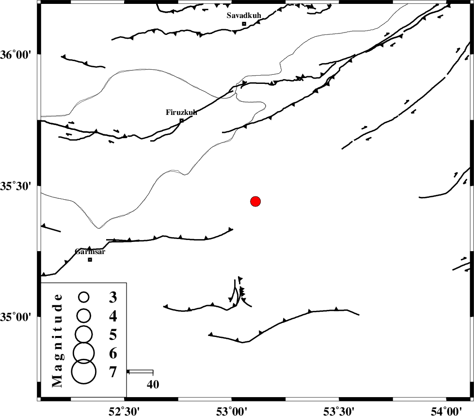
| Location | Lat:35.44 Lon: 53.11 |
| Region | Semnan Province, 29 km South-West of Semnan |
Nearest Cities |
|
| 4 km North of Lasjerd, Semnan Province | |
| 10 km West of Sorkheh, Semnan Province | |
| 18 km South of Aftar, Semnan Province | |
| 30 km South West of Semnan, Semnan Province | |
| 36 km West of Alae, Semnan Province | |
| Depth | 15 km |
| Agency | |
Faults within 150 km: |
|
| KUH_E_GACHAB_F2 (Length: 31 km) , Distance to epicenter: 21 km | |
| ATARI_F (Length: 185 km) , Distance to epicenter: 25 km | |
| KUH_E_GACHAB_F1 (Length: 53 km) , Distance to epicenter: 31 km | |
| Number of Phases | 6 |
| RMS | 0.1 |
| Number of Stations | 5 |
| Error in Latitude | >4.1 km |
| Error in Longitude | 2.3 km |
| Error in Depth | 7 km |
Download waveform in seisan format
to download seisan software Click here
to access information about IIEES stations Click here
Amplitude | ||||||||
| UID | Agency | Station | Component | Amplitude | Period | Arrival Time | Proccessing Time | Signal Clip |
| 86455 | IIEES | GHVR | E | 176.2 | 0.64 | 2012-10-07 21:11:19 | 2012-10-08 04:08:00 | n |
| 86456 | IIEES | GHVR | N | 139.6 | 0.4 | 2012-10-07 21:11:25 | 2012-10-08 04:08:00 | n |
| 86457 | IIEES | ASAO | E | 52.1 | 0.56 | 2012-10-07 21:11:44 | 2012-10-08 04:08:00 | n |
Phase | ||||||||||||
| Agency | Station | Component | Phase Type | Phase Quality | First Motion | Observed Arrival Time | Time Residual | Loc. Flag | Input Weight | Distance | Azimuth | |
| IIEES | CHTH | Z | Pn | E | 2012-10-07 21:10:48 | -0.13 | y | 187 | 287 | |||
| IIEES | GHVR | Z | Pn | E | 2012-10-07 21:10:49 | -0.09 | y | 201 | 238 | |||
| IIEES | GHVR | E | Sg | E | 2012-10-07 21:11:14 | 0 | y | 201 | 238 | |||
| IIEES | THKV | Z | Pn | E | 2012-10-07 21:10:51 | 0.1 | y | 209 | 285 | |||
| IIEES | SHRO | Z | Pn | E | 2012-10-07 21:10:58 | 0 | y | 270 | 76 | |||
| IIEES | ASAO | Z | Pn | E | 2012-10-07 21:11:02 | 0.13 | y | 299 | 251 | |||