
| Prel. Rep. | Date | Time(UTC) | Time(Local) | Lat. | Lon. | Depth | Mag. | Region | Waveform |
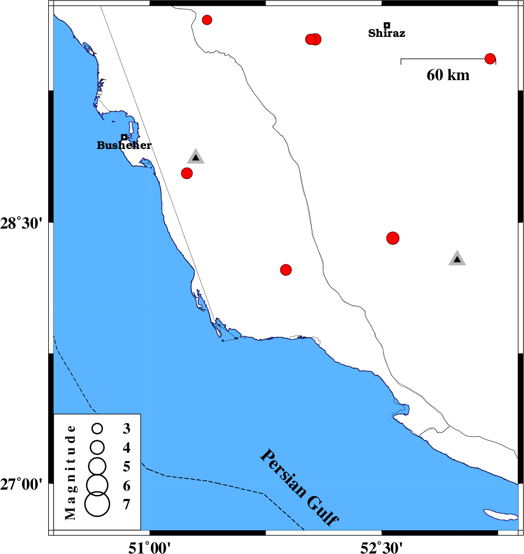
| 2011/11/15 | 06:52:31.1 | 10:22:31.1 | 28.23 | 51.88 | 14 | ML:3.2 | Bushehr Province, 48 km North-West of Bandar-e kangan | ||
| 2011/11/13 | 17:27:36.0 | 20:57:36.0 | 29.65 | 51.37 | 18 | ML:2.8 | Fars Province, 27 km West of Kazerun | ||
| 2011/11/11 | 14:41:56.0 | 18:11:56.0 | 29.43 | 53.2 | 14 | ML:3.1 | Fars Province, 53 km South-West of Arsanjan | ||
| 2011/11/09 | 03:53:41.6 | 07:23:41.6 | 28.41 | 52.57 | 26 | ML:3.7 | Fars Province, 46 km South of Firuz Abad | ||
| 2011/11/07 | 15:18:41.2 | 18:48:41.2 | 29.54 | 52.04 | 18 | ML:3.1 | Fars Province, 38 km East of Kazerun | ||
| 2011/10/28 | 05:19:33.5 | 08:49:33.5 | 29.54 | 52.07 | 14 | ML:3.4 | Fars Province, 41 km East of Kazerun | ||
| 2011/10/19 | 05:49:01.0 | 09:19:01.0 | 28.78 | 51.24 | 10 | ML:3.2 | Bushehr Province, 11 km Ahram |