
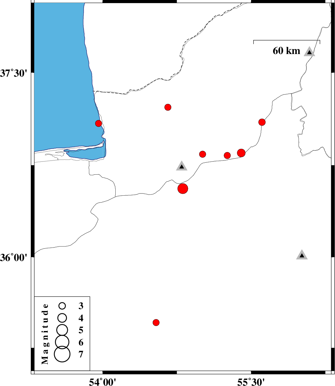
| Prel. Rep. | Date | Time(UTC) | Time(Local) | Lat. | Lon. | Depth | Mag. | Region | Waveform |
| 2011/08/11 | 22:32:17.2 | 03:02:17.2 | 36.56 | 54.81 | 8 | ML:4.7 | Semnan Province, 21 km North-West of Shahrud | ||
| 2011/08/06 | 19:51:18.2 | 00:21:18.2 | 37.09 | 53.96 | 37 | ML:2.9 | Caspian Sea, 23 km North-West of Bandar-e torkaman | ||
| 2011/08/01 | 04:58:05.4 | 09:28:05.4 | 37.22 | 54.66 | 16 | ML:3 | Golestan Province, 29 km North-East of Aq Qaleh | ||
| 2011/07/30 | 06:58:27.3 | 11:28:27.3 | 36.83 | 55.26 | 14 | ML:3 | Golestan Province, 23 km South-East of Ramian | ||
| 2011/07/27 | 03:18:44.7 | 07:48:44.7 | 35.46 | 54.54 | 14 | ML:3 | Semnan Province, 80 km South-East of Damghan | ||
| 2011/07/26 | 11:30:06.2 | 16:00:06.2 | 37.1 | 55.61 | 14 | ML:3.1 | Golestan Province, 24 km South-East of Minodasht | ||
| 2011/07/24 | 17:43:55.9 | 22:13:55.9 | 36.84 | 55.01 | 14 | ML:3 | Golestan Province, 14 km East of Ali Abad | ||
| 2011/07/23 | 04:09:40.0 | 08:39:40.0 | 36.85 | 55.4 | 6 | ML:3.6 | Golestan Province, 43 km South of Minodasht |