
| Prel. Rep. | Date | Time(UTC) | Time(Local) | Lat. | Lon. | Depth | Mag. | Region | Waveform |
| 2004/11/15 | 03:11:52.4 | 06:41:52.4 | 35.56 | 49.12 | 14 | ML:3.3 | 21 km North of Razan, Hamedan Province | ||
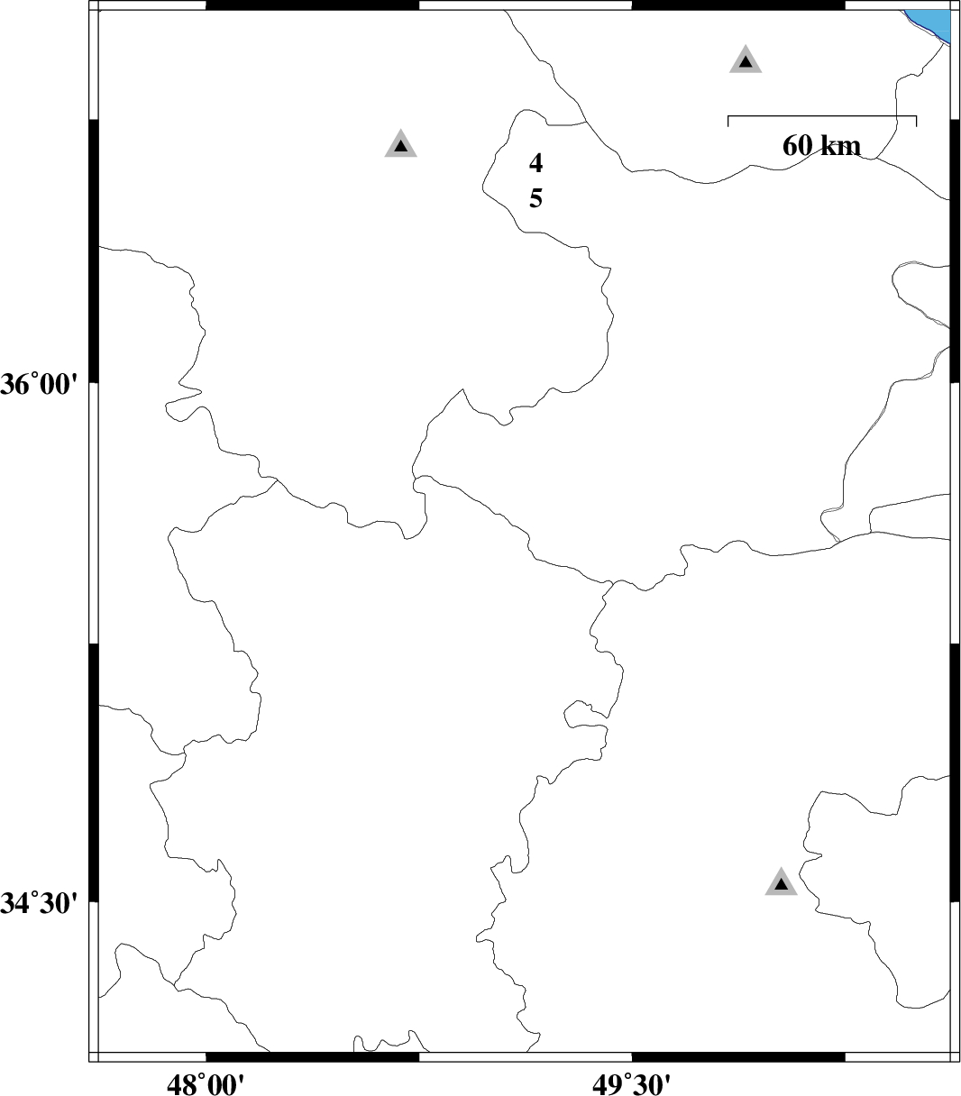
| 2004/11/14 | 15:15:15.2 | 18:45:15.2 | 35.77 | 49.04 | 15 | ML:2 | 42 km North of Razan, Hamedan Province | ||
| 2004/11/13 | 02:42:28.3 | 06:12:28.3 | 35.4 | 47.65 | 14 | ML:2.7 | 29 km North-West of Qorveh, Kordestan Province | ||
| 2004/11/12 | 13:02:57.6 | 16:32:57.6 | 35.79 | 49 | 14 | ML:2.6 | 43 km South-West of Abhar, Zanjan Province | ||
| 2004/11/12 | 10:51:55.5 | 14:21:55.5 | 35.83 | 48.92 | 14 | ML:2.6 | 43 km South-East of Qeydar, Zanjan Province | ||
| 2004/11/11 | 09:54:07.0 | 13:24:07.0 | 36.09 | 50.51 | 18 | ML:3 | 6 km Abyek, Ghazvin Province | ||
| 2004/11/09 | 02:02:25.8 | 05:32:25.8 | 34.33 | 48.09 | 18 | ML:3.4 | 22 km South-East of Kangavar, Kermanshah Province | ||
| 2004/11/08 | 20:03:19.4 | 23:33:19.4 | 35.73 | 48.88 | 15 | ML:4.6 | 41 km North-West of Razan, Hamedan Province |