
Magnitude |
:2.6 |
| Date & Time (UTC) | 2004-11-12 10:51:55.5 |
| Date & Time (Local) | 1383/8/22 14:21:55.5 |
| Location | Lat:35.83 Lon: 48.92 |
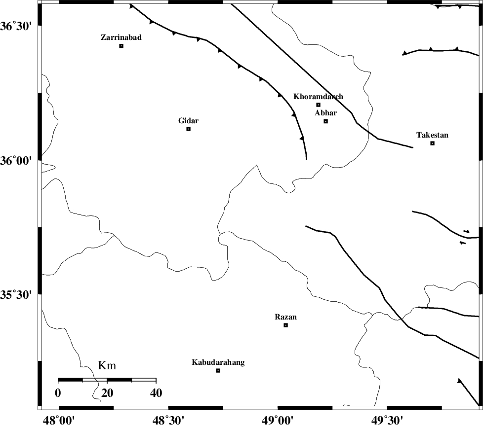
| Region | 43 km South-East of Qeydar, Zanjan Province |
Nearest Cities |
|
| 28 km North East of Kahla, Zanjan Province | |
| 34 km South of Kineh vars, Zanjan Province | |
| 34 km North West of Ab-e garm, Ghazvin Province | |
| 36 km South West of Darsajin, Zanjan Province | |
| 36 km North East of Khorandeh, Hamedan Province | |
| Depth | 14 km |
| Agency | |
Faults within 150 km: |
|
| KUSHK_E_NOSRAT_F (Length: 230 km) , Distance to epicenter: 20 km | |
| SOLTANIYEH_F (Length: 119 km) , Distance to epicenter: 27 km | |
| ZANJAN_F (Length: 137 km) , Distance to epicenter: 52 km | |
| Number of Phases | 5 |
| RMS | 0.1 |
| Number of Stations | 4 |
| Error in Latitude | >6 km |
| Error in Longitude | 2.7 km |
| Error in Depth | 7.5 km |
Download waveform in seisan format
to download seisan software Click here
to access information about IIEES stations Click here
Amplitude | ||||||||
| UID | Agency | Station | Component | Amplitude | Period | Arrival Time | Proccessing Time | Signal Clip |
| 30914 | IIEES | SNGE | N | 121.9 | 0.51 | 2004-11-12 10:52:44 | 2006-03-15 11:56:00 | n |
| 30915 | IIEES | THKV | N | 61.7 | 0.35 | 2004-11-12 10:52:57 | 2006-03-15 11:56:00 | n |
| 30916 | IIEES | THKV | E | 59.7 | 0.46 | 2004-11-12 10:52:58 | 2006-03-15 11:56:00 | n |
| 30917 | IIEES | DAMV | N | 24.5 | 0.47 | 2004-11-12 10:53:21 | 2006-03-15 11:56:00 | n |
| 30918 | IIEES | DAMV | E | 34.5 | 0.56 | 2004-11-12 10:53:24 | 2006-03-15 11:56:00 | n |
Phase | ||||||||||||
| Agency | Station | Component | Phase Type | Phase Quality | First Motion | Observed Arrival Time | Time Residual | Loc. Flag | Input Weight | Distance | Azimuth | |
| IIEES | SNGE | Z | PG | E | 2004-11-12 10:52:22 | -0.1 | y | 164 | 241 | |||
| IIEES | SNGE | N | SG | E | 2004-11-12 10:52:42 | 0.1 | y | 164 | 241 | |||
| IIEES | ASAO | E | PG | E | 2004-11-12 10:52:24 | 0 | y | 174 | 144 | |||
| IIEES | THKV | Z | PG | E | 2004-11-12 10:52:24 | -0.2 | y | 178 | 86 | |||
| IIEES | DAMV | Z | PN | E | 2004-11-12 10:52:38 | 0.2 | y | 277 | 94 | |||