
| Prel. Rep. | Date | Time(UTC) | Time(Local) | Lat. | Lon. | Depth | Mag. | Region | Waveform |
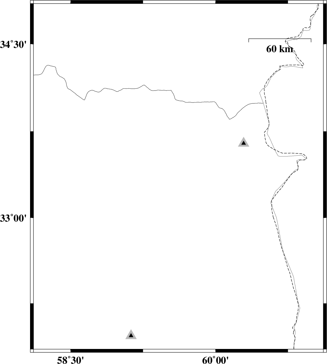
| 2015/09/11 | 11:28:23.7 | 15:58:23.7 | 33.347 | 59.616 | 15 | ML:2.2 | Khorasan(south) Province, 58 km South-East of Qaen | ||
| 2015/09/11 | 08:18:47.4 | 12:48:47.4 | 33.4 | 59.997 | 17 | ML:1.9 | Khorasan(south) Province, 89 km North-East of Sarbisheh | ||
| 2015/09/08 | 01:35:24.1 | 06:05:24.1 | 33.049 | 60.144 | 18 | ML:2 | Khorasan(south) Province, 58 km North-East of Sarbisheh | ||
| 2015/09/05 | 00:35:17.2 | 05:05:17.2 | 32.88 | 58.888 | 16 | ML:2.4 | Khorasan(south) Province, 32 km -West of Birjand | ||
| 2015/08/28 | 14:55:22.4 | 19:25:22.4 | 32.649 | 59.813 | 6 | ML:2.7 | Khorasan(south) Province, 4 km of Sarbisheh | ||
| 2015/08/28 | 02:30:17.0 | 07:00:17.0 | 32.106 | 59.714 | 14 | ML:2.6 | Khorasan(south) Province, 58 km South of Sarbisheh | ||
| 2015/08/25 | 23:18:27.6 | 03:48:27.6 | 32.631 | 59.844 | 17 | ML:2.5 | Khorasan(south) Province, 5 km of Sarbisheh | ||
| 2015/08/18 | 05:49:01.6 | 10:19:01.6 | 34.839 | 59.324 | 15 | ML:2.6 | Khorasan(center) Province, 49 km South-East of Torbat-e heydariyeh | ||
| 2015/08/16 | 09:22:44.2 | 13:52:44.2 | 34.542 | 60.545 | 18 | ML:2.6 | Khorasan(center) Province, 37 km -East of Khaf |