
Magnitude |
:2.5 |
| Date & Time (UTC) | 2015-08-25 23:18:27.6 |
| Date & Time (Local) | 1394/6/4 03:48:27.6 |
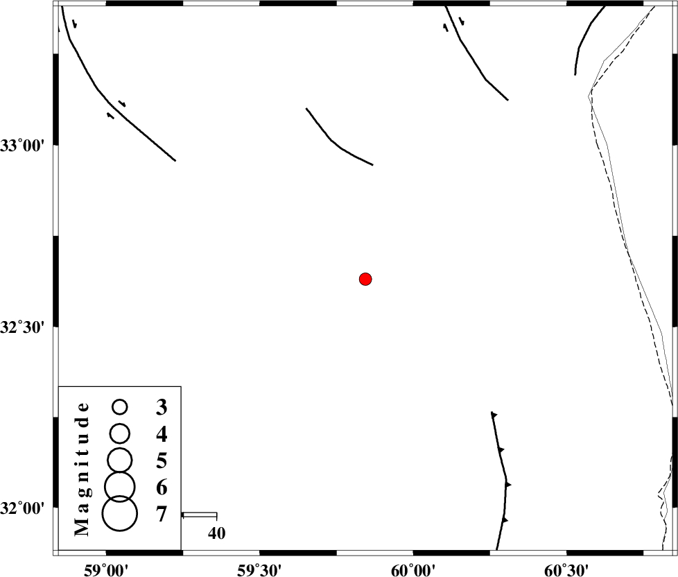
| Location | Lat:32.631 Lon: 59.844 |
| Region | Khorasan(south) Province, 5 km of Sarbisheh |
Nearest Cities |
|
| 5 km North of Sarbisheh, Khorasan(south) Province | |
| 8 km North of Salmabad, Khorasan(south) Province | |
| 24 km South of Darmian, Khorasan(south) Province | |
| 34 km South East of Mud, Khorasan(south) Province | |
| 36 km North East of Kalateh soleyman, Khorasan(south) Province | |
| Depth | 17 km |
| Agency | |
Faults within 150 km: |
|
| NOZAD_F (Length: 27 km) , Distance to epicenter: 35 km | |
| E_NEH_F (Length: 148 km) , Distance to epicenter: 56 km | |
| MOHAMMADABAD_F (Length: 71 km) , Distance to epicenter: 68 km | |
| Number of Phases | 5 |
| RMS | 0.1 |
| Number of Stations | 4 |
| Error in Latitude | >2 km |
| Error in Longitude | 2.4 km |
| Error in Depth | 4.1 km |
Download waveform in seisan format
to download seisan software Click here
to access information about IIEES stations Click here
Amplitude | ||||||||
| UID | Agency | Station | Component | Amplitude | Period | Arrival Time | Proccessing Time | Signal Clip |
| 100512 | IIEES | BSRN | E | 134.4 | 0.28 | 2015-08-25 23:19:04 | 2015-08-26 07:17:00 | n |
Phase | ||||||||||||
| Agency | Station | Component | Phase Type | Phase Quality | First Motion | Observed Arrival Time | Time Residual | Loc. Flag | Input Weight | Distance | Azimuth | |
| IIEES | BSRN | Z | Pg | E | 2015-08-25 23:18:44 | -0.09 | y | 100 | 223 | |||
| IIEES | SHRT | Z | Pg | E | 2015-08-25 23:18:47 | 0.03 | y | 120 | 20 | |||
| IIEES | TABS | Z | Pn | E | 2015-08-25 23:19:09 | -0.18 | y | 278 | 295 | |||
| IIEES | TABS | N | Sg | E | 2015-08-25 23:19:46 | 0.07 | y | 278 | 295 | |||
| IIEES | KRBR | Z | Pn | E | 2015-08-25 23:19:27 | 0.22 | y | 415 | 226 | |||