
Magnitude |
:2 |
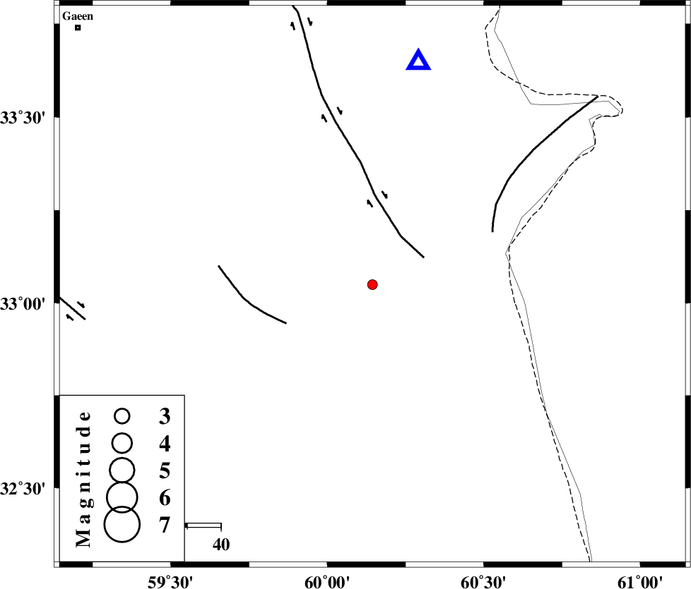
| Date & Time (UTC) | 2015-09-08 01:35:24.1 |
| Date & Time (Local) | 1394/6/17 06:05:24.1 |
| Location | Lat:33.049 Lon: 60.144 |
| Region | Khorasan(south) Province, 58 km North-East of Sarbisheh |
Nearest Cities |
|
| 10 km North of Gazik, Khorasan(south) Province | |
| 28 km North of Tabas masina, Khorasan(south) Province | |
| 32 km North East of Darmian, Khorasan(south) Province | |
| 41 km North East of Asadieh, Khorasan(south) Province | |
| 41 km North East of Gasak, Khorasan(south) Province | |
| Depth | 18 km |
| Agency | |
Faults within 150 km: |
|
| ABRIZ_F (Length: 114 km) , Distance to epicenter: 17 km | |
| NOZAD_F (Length: 27 km) , Distance to epicenter: 28 km | |
| PATARGAN_F (Length: 52 km) , Distance to epicenter: 39 km | |
| Number of Phases | 6 |
| RMS | 0.2 |
| Number of Stations | 3 |
| Error in Latitude | >1.6 km |
| Error in Longitude | 3 km |
| Error in Depth | 5.3 km |
Download waveform in seisan format
to download seisan software Click here
to access information about IIEES stations Click here
Amplitude | ||||||||
| UID | Agency | Station | Component | Amplitude | Period | Arrival Time | Proccessing Time | Signal Clip |
| 100804 | IIEES | SHRT | N | 84.3 | 0.2 | 2015-09-08 01:35:48 | 2015-09-08 07:58:00 | n |
Phase | ||||||||||||
| Agency | Station | Component | Phase Type | Phase Quality | First Motion | Observed Arrival Time | Time Residual | Loc. Flag | Input Weight | Distance | Azimuth | |
| IIEES | SHRT | Z | Pg | E | 2015-09-08 01:35:35 | -0.04 | y | 67.6 | 12 | |||
| IIEES | SHRT | E | Sg | E | 2015-09-08 01:35:44 | 0.13 | y | 67.6 | 12 | |||
| IIEES | BSRN | Z | Pg | E | 2015-09-08 01:35:49 | -0.06 | y | 154 | 219 | |||
| IIEES | BSRN | E | Sg | E | 2015-09-08 01:36:08 | 0.18 | y | 154 | 219 | |||
| IIEES | TABS | Z | Pn | E | 2015-09-08 01:36:07 | -0.34 | y | 289 | 284 | |||
| IIEES | TABS | N | Sg | E | 2015-09-08 01:36:45 | 0.12 | y | 289 | 284 | |||