
| Prel. Rep. | Date | Time(UTC) | Time(Local) | Lat. | Lon. | Depth | Mag. | Region | Waveform |
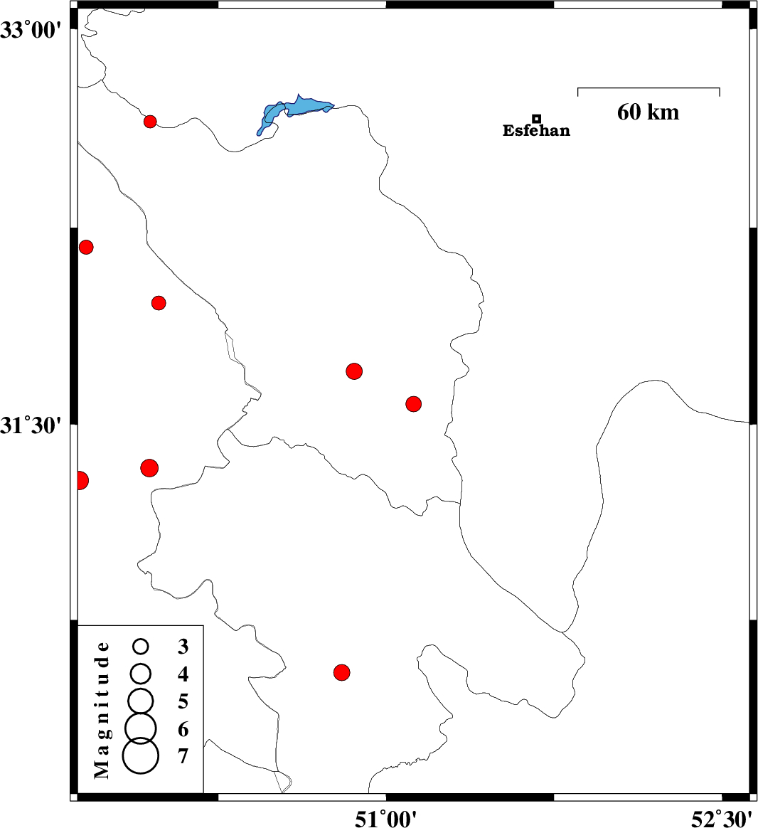
| 2015/08/27 | 12:18:13.7 | 16:48:13.7 | 31.578 | 51.122 | 18 | ML:3.1 | Chaharmahal Bakhtiari Province, 31 km -East of Lordegan | ||
| 2015/08/26 | 16:51:22.9 | 21:21:22.9 | 32.175 | 49.66 | 18 | ML:2.8 | Khoozestan Province, 43 km North-West of Izeh | ||
| 2015/08/18 | 16:02:34.8 | 20:32:34.8 | 31.286 | 49.63 | 15 | ML:3.7 | Khoozestan Province, 2 km of Ramhormoz | ||
| 2015/08/18 | 09:46:17.9 | 14:16:17.9 | 31.703 | 50.857 | 18 | ML:3.3 | Chaharmahal Bakhtiari Province, 23 km North of Lordegan | ||
| 2015/08/18 | 03:38:11.1 | 08:08:11.1 | 32.651 | 49.946 | 14 | ML:2.5 | Chaharmahal Bakhtiari Province, 26 km North-West of Chelgard | ||
| 2015/08/14 | 22:26:17.0 | 02:56:17.0 | 31.333 | 49.942 | 15 | ML:3.5 | Khoozestan Province, 21 km South of Bagh Malek | ||
| 2015/08/08 | 10:32:41.3 | 15:02:41.3 | 31.963 | 49.984 | 14 | ML:2.8 | Khoozestan Province, 18 km North-East of Izeh | ||
| 2015/08/01 | 17:43:33.0 | 22:13:33.0 | 30.546 | 50.802 | 18 | ML:3.2 | Kohkiluieh va boyerahmad Province, 22 km North of Dogonbadan |