
Magnitude |
:2.8 |
| Date & Time (UTC) | 2015-08-26 16:51:22.9 |
| Date & Time (Local) | 1394/6/4 21:21:22.9 |
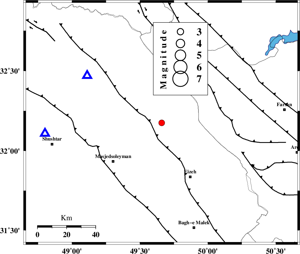
| Location | Lat:32.175 Lon: 49.66 |
| Region | Khoozestan Province, 43 km North-West of Izeh |
Nearest Cities |
|
| 16 km South of Paabshalal, Khoozestan Province | |
| 21 km East of Qale-yekhvaju, Khoozestan Province | |
| 25 km North West of Torshak, Khoozestan Province | |
| 37 km North West of Rasvand, Khoozestan Province | |
| 43 km North West of Izeh, Khoozestan Province | |
| Depth | 18 km |
| Agency | |
Faults within 150 km: |
|
| MFF2 (Length: 205 km) , Distance to epicenter: 8 km | |
| ZARDKUH_F (Length: 139 km) , Distance to epicenter: 41 km | |
| DEZFUL_EMBAYMENT (Length: 228 km) , Distance to epicenter: 48 km | |
| Number of Phases | 5 |
| RMS | 0.1 |
| Number of Stations | 4 |
| Error in Latitude | >4.5 km |
| Error in Longitude | 3 km |
| Error in Depth | 6.2 km |
Download waveform in seisan format
to download seisan software Click here
to access information about IIEES stations Click here
Amplitude | ||||||||
| UID | Agency | Station | Component | Amplitude | Period | Arrival Time | Proccessing Time | Signal Clip |
| 100605 | IIEES | NASN | N | 22.2 | 0.26 | 2015-08-26 16:52:46 | 2015-08-30 11:02:00 | n |
| 100606 | IIEES | NASN | E | 49.6 | 0.26 | 2015-08-26 16:52:59 | 2015-08-30 11:02:00 | n |
Phase | ||||||||||||
| Agency | Station | Component | Phase Type | Phase Quality | First Motion | Observed Arrival Time | Time Residual | Loc. Flag | Input Weight | Distance | Azimuth | |
| IIEES | KHMZ | Z | Pg | E | 2015-08-26 16:51:52 | 0.14 | y | 176 | 9 | |||
| IIEES | GHVR | Z | P | E | 2015-08-26 16:52:06 | -0.09 | y | 295 | 30 | |||
| IIEES | GHVR | N | Sg | E | 2015-08-26 16:52:45 | -0.04 | y | 295 | 30 | |||
| IIEES | NASN | Z | Pn | E | 2015-08-26 16:52:08 | 0.03 | y | 304 | 76 | |||
| IIEES | SNGE | Z | Pn | E | 2015-08-26 16:52:18 | -0.06 | y | 388 | 327 | |||