
| Prel. Rep. | Date | Time(UTC) | Time(Local) | Lat. | Lon. | Depth | Mag. | Region | Waveform |
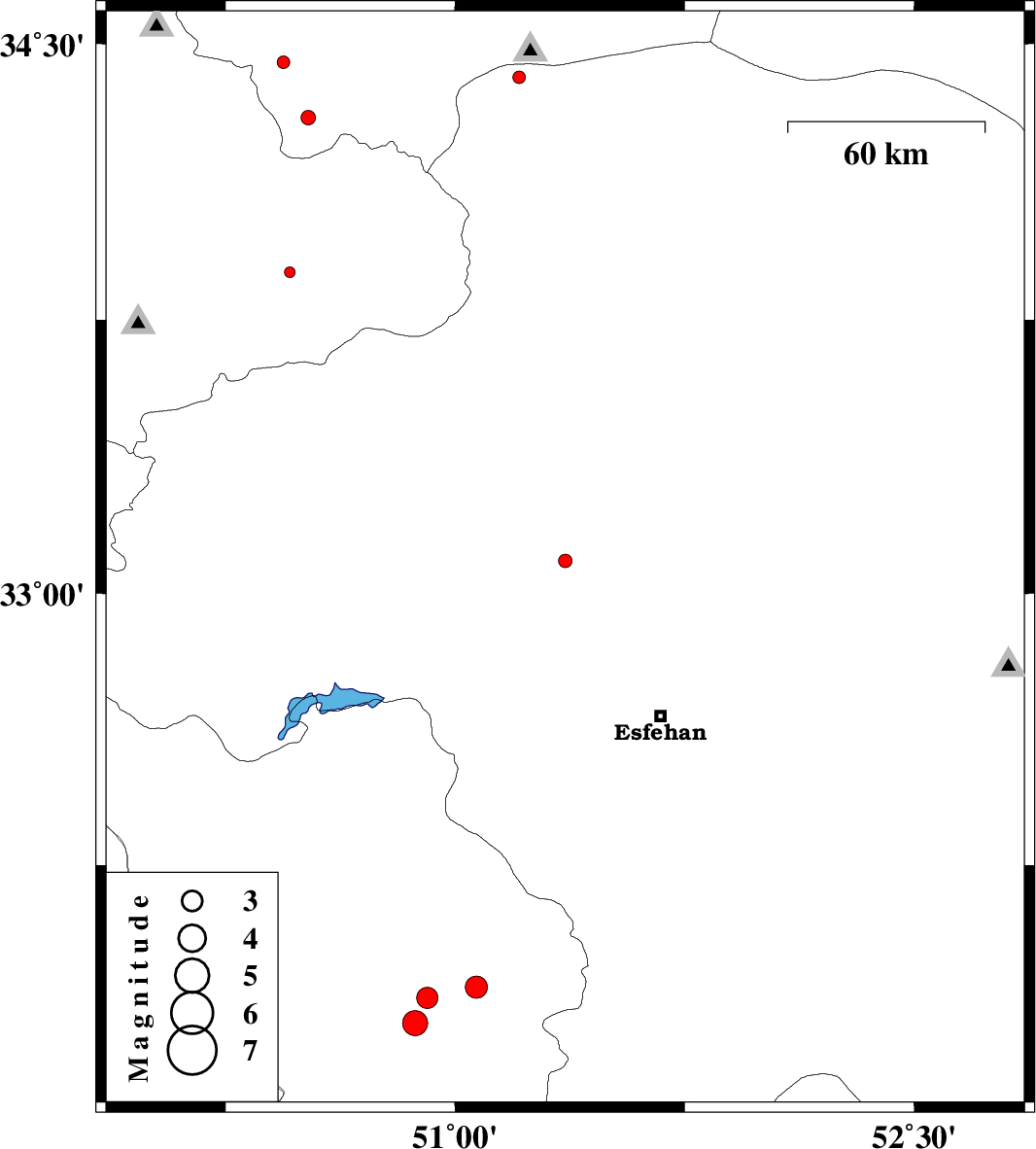
| 2014/12/04 | 13:33:46.8 | 17:03:46.8 | 33.09 | 51.36 | 14 | ML:2 | Esfahan Province, 50 km North of Najafabad | ||
| 2014/12/04 | 13:14:27.1 | 16:44:27.1 | 33.88 | 50.46 | 29 | ML:1.6 | Markazi Province, 5 km Mahallat | ||
| 2014/12/03 | 02:51:13.2 | 06:21:13.2 | 31.81 | 50.87 | 14 | ML:3.6 | Chaharmahal Bakhtiari Province, 35 km North of Lordegan | ||
| 2014/12/01 | 13:17:25.6 | 16:47:25.6 | 34.41 | 51.21 | 14 | ML:1.8 | Esfahan Province, 42 km South-East of Qom | ||
| 2014/11/28 | 14:00:01.8 | 17:30:01.8 | 34.3 | 50.52 | 31 | ML:2.1 | Qom Province, 43 km North of Mahallat | ||
| 2014/11/21 | 11:58:02.0 | 15:28:02.0 | 34.45 | 50.44 | 40 | ML:1.9 | Qom Province, 41 km East of Ashtiyan | ||
| 2014/11/19 | 10:11:52.4 | 13:41:52.4 | 31.88 | 50.91 | 14 | ML:3.1 | Chaharmahal Bakhtiari Province, 27 km South-East of Ardel | ||
| 2014/11/04 | 13:04:16.7 | 16:34:16.7 | 31.91 | 51.07 | 14 | ML:3.3 | Chaharmahal Bakhtiari Province, 21 km West of Borujen |