
Magnitude |
:2.1 |
| Date & Time (UTC) | 2014-11-28 14:00:01.8 |
| Date & Time (Local) | 1393/9/7 17:30:01.8 |
| Location | Lat:34.3 Lon: 50.52 |
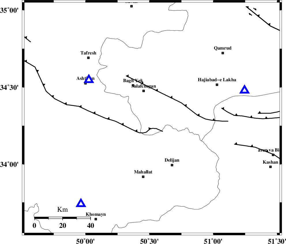
| Region | Qom Province, 43 km North of Mahallat |
Nearest Cities |
|
| 19 km North of Dudhak, Markazi Province | |
| 21 km South of Salafchegan, Qom Province | |
| 26 km North of Khorheh, Markazi Province | |
| 27 km South East of Bagh yek, Qom Province | |
| 30 km East of Salehabad, Markazi Province | |
| Depth | 31 km |
| Agency | |
Faults within 150 km: |
|
| TAFRESH_F (Length: 117 km) , Distance to epicenter: 25 km | |
| INDES_F (Length: 98 km) , Distance to epicenter: 31 km | |
| KASHAN_F (Length: 44 km) , Distance to epicenter: 71 km | |
| Number of Phases | 4 |
| RMS | 0 |
| Number of Stations | 3 |
| Error in Latitude | >1.9 km |
| Error in Longitude | 2.5 km |
| Error in Depth | 16.1 km |
Download waveform in seisan format
to download seisan software Click here
to access information about IIEES stations Click here
Amplitude | ||||||||
| UID | Agency | Station | Component | Amplitude | Period | Arrival Time | Proccessing Time | Signal Clip |
| 94396 | IIEES | GHVR | N | 81.9 | 0.36 | 2014-11-28 14:00:25 | 2014-11-28 03:34:00 | n |
| 94397 | IIEES | GHVR | E | 89.2 | 0.32 | 2014-11-28 14:00:28 | 2014-11-28 03:34:00 | n |
Phase | ||||||||||||
| Agency | Station | Component | Phase Type | Phase Quality | First Motion | Observed Arrival Time | Time Residual | Loc. Flag | Input Weight | Distance | Azimuth | |
| IIEES | ASAO | Z | Pg | E | 2014-11-28 14:00:12 | -0.01 | y | 53.6 | 301 | |||
| IIEES | GHVR | Z | Pg | E | 2014-11-28 14:00:14 | 0.01 | y | 69.3 | 73 | |||
| IIEES | KHMZ | Z | Pg | E | 2014-11-28 14:00:16 | -0.01 | y | 80.7 | 220 | |||
| IIEES | KHMZ | E | Sg | E | 2014-11-28 14:00:26 | 0 | y | 80.7 | 220 | |||