
Magnitude |
:3.6 |
| Date & Time (UTC) | 2014-12-03 02:51:13.2 |
| Date & Time (Local) | 1393/9/12 06:21:13.2 |
| Location | Lat:31.81 Lon: 50.87 |
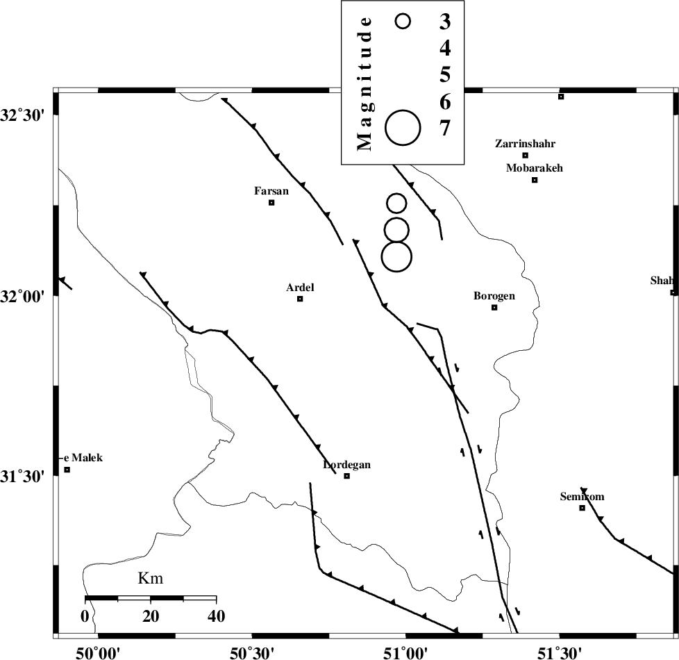
| Region | Chaharmahal Bakhtiari Province, 35 km North of Lordegan |
Nearest Cities |
|
| 19 km South East of Naghan, Chaharmahal Bakhtiari Province | |
| 21 km North of Armand-e olia, Chaharmahal Bakhtiari Province | |
| 22 km South West of Baladaji, Chaharmahal Bakhtiari Province | |
| 27 km South of Shalamzar, Chaharmahal Bakhtiari Province | |
| 28 km South East of Dupelan, Chaharmahal Bakhtiari Province | |
| Depth | 14 km |
| Agency | |
Faults within 150 km: |
|
| DOPOLAN_F (Length: 107 km) , Distance to epicenter: 4 km | |
| SABZKUH_F (Length: 67 km) , Distance to epicenter: 9 km | |
| ARDAL_F (Length: 170 km) , Distance to epicenter: 9 km | |
| Number of Phases | 6 |
| RMS | 0.1 |
| Number of Stations | 5 |
| Error in Latitude | >7.5 km |
| Error in Longitude | 6.1 km |
| Error in Depth | 5.9 km |
Download waveform in seisan format
to download seisan software Click here
to access information about IIEES stations Click here
Amplitude | ||||||||
| UID | Agency | Station | Component | Amplitude | Period | Arrival Time | Proccessing Time | Signal Clip |
| 94425 | IIEES | KHMZ | E | 387 | 0.56 | 2014-12-03 02:52:20 | 2014-12-03 09:53:00 | n |
Phase | ||||||||||||
| Agency | Station | Component | Phase Type | Phase Quality | First Motion | Observed Arrival Time | Time Residual | Loc. Flag | Input Weight | Distance | Azimuth | |
| IIEES | NASN | Z | Pg | E | 2014-12-03 02:51:48 | -0.02 | y | 213 | 59 | |||
| IIEES | KHMZ | Z | Pn | E | 2014-12-03 02:51:49 | -0.08 | y | 230 | 339 | |||
| IIEES | KHMZ | E | Sg | E | 2014-12-03 02:52:18 | -0.01 | y | 230 | 339 | |||
| IIEES | GHVR | Z | Pn | E | 2014-12-03 02:51:58 | 0.1 | y | 298 | 7 | |||
| IIEES | ASAO | Z | Pn | E | 2014-12-03 02:52:00 | 0.07 | y | 313 | 346 | |||
| IIEES | DAMV | Z | Pn | E | 2014-12-03 02:52:15 | -0.07 | y | 436 | 13 | |||