
| Prel. Rep. | Date | Time(UTC) | Time(Local) | Lat. | Lon. | Depth | Mag. | Region | Waveform |
| 2013/04/09 | 11:03:48.2 | 15:33:48.2 | 27.79 | 57.33 | 17 | ML:3.3 | Hormozgan Province, 41 km North of Dehbarez | ||
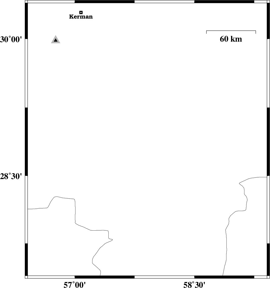
| 2013/04/09 | 06:18:57.7 | 10:48:57.7 | 28.89 | 57.91 | 14 | ML:3.2 | Kerman Province, 30 km North-East of Jiroft | ||
| 2013/04/05 | 20:10:27.2 | 00:40:27.2 | 27.79 | 57.55 | 15 | ML:3.1 | Kerman Province, 23 km South-West of Kahnuj | ||
| 2013/03/28 | 03:27:12.1 | 07:57:12.1 | 28.45 | 57.59 | 14 | ML:3.1 | Kerman Province, 29 km South-West of Jiroft | ||
| 2013/03/26 | 12:30:42.0 | 17:00:42.0 | 29.86 | 57.78 | 14 | ML:3.3 | Kerman Province, 83 km South-East of Kerman | ||
| 2013/03/25 | 15:57:58.3 | 20:27:58.3 | 27.61 | 56.88 | 14 | ML:3.1 | Hormozgan Province, 41 km North-West of Dehbarez | ||
| 2013/03/21 | 06:16:01.6 | 09:46:01.6 | 28.07 | 57.35 | 14 | ML:2.9 | Kerman Province, 36 km North-West of Kahnuj | ||
| 2013/03/11 | 13:30:43.4 | 17:00:43.4 | 29.8 | 57.79 | 14 | ML:3 | Kerman Province, 126 km North of Jiroft |