
Magnitude |
:3.1 |
| Date & Time (UTC) | 2013-03-28 03:27:12.1 |
| Date & Time (Local) | 1392/1/8 07:57:12.1 |
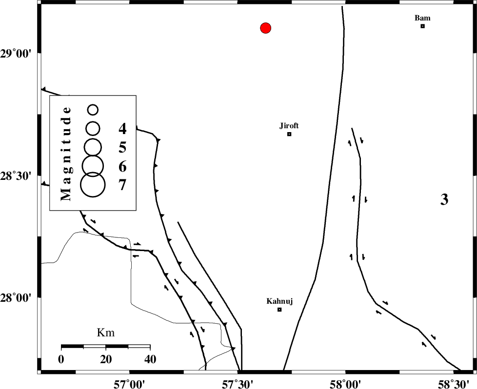
| Location | Lat:28.45 Lon: 57.59 |
| Region | Kerman Province, 29 km South-West of Jiroft |
Nearest Cities |
|
| 18 km South West of Khatunabad-e zangian, Kerman Province | |
| 25 km West of Khesrabad, Kerman Province | |
| 26 km North of Bolock, Kerman Province | |
| 27 km North West of Aliabad-e qadiri, Kerman Province | |
| 28 km South West of Dolatabad, Kerman Province | |
| Depth | 14 km |
| Agency | |
Faults within 150 km: |
|
| SABZEVARAN_F (Length: 190 km) , Distance to epicenter: 14 km | |
| JIROFT_F (Length: 144 km) , Distance to epicenter: 49 km | |
| GOWK_F (Length: 152 km) , Distance to epicenter: 68 km | |
| Number of Phases | 5 |
| RMS | 0.1 |
| Number of Stations | 4 |
| Error in Latitude | >4.5 km |
| Error in Longitude | 2.9 km |
| Error in Depth | 6.4 km |
Download waveform in seisan format
to download seisan software Click here
to access information about IIEES stations Click here
Amplitude | ||||||||
| UID | Agency | Station | Component | Amplitude | Period | Arrival Time | Proccessing Time | Signal Clip |
| 88334 | IIEES | KRBR | N | 187 | 0.47 | 2013-03-28 03:28:22 | 2013-03-28 04:09:00 | n |
Phase | ||||||||||||
| Agency | Station | Component | Phase Type | Phase Quality | First Motion | Observed Arrival Time | Time Residual | Loc. Flag | Input Weight | Distance | Azimuth | |
| IIEES | KRBR | Z | Pg | E | 2013-03-28 03:27:43 | -0.1 | y | 188 | 335 | |||
| IIEES | ZHSF | Z | P | E | 2013-03-28 03:28:01 | -0.07 | y | 336 | 67 | |||
| IIEES | BSRN | Z | Pn | E | 2013-03-28 03:28:11 | 0.15 | y | 417 | 20 | |||
| IIEES | BSRN | N | Sg | E | 2013-03-28 03:29:08 | -0.01 | y | 417 | 20 | |||
| IIEES | YZKH | Z | Pn | E | 2013-03-28 03:28:25 | 0.08 | y | 523 | 327 | |||