
| Prel. Rep. | Date | Time(UTC) | Time(Local) | Lat. | Lon. | Depth | Mag. | Region | Waveform |
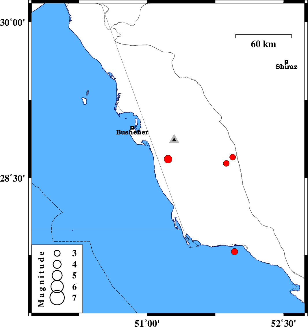
| 2012/11/16 | 15:54:18.4 | 19:24:18.4 | 28.68 | 51.23 | 22 | ML:4 | Bushehr Province, 14 km West of Khormog | ||
| 2012/11/16 | 04:57:48.3 | 08:27:48.3 | 27.78 | 51.96 | 15 | ML:3.2 | Persian Gulf, 12 km West of Bandar-e kangan | ||
| 2012/11/11 | 20:42:03.2 | 00:12:03.2 | 28.7 | 51.94 | 9 | ML:3 | Bushehr Province, 24 km South-West of Farashband | ||
| 2012/11/10 | 01:46:16.0 | 05:16:16.0 | 28.64 | 51.87 | 28 | ML:3 | Bushehr Province, 33 km South-West of Farashband |