
| Prel. Rep. | Date | Time(UTC) | Time(Local) | Lat. | Lon. | Depth | Mag. | Region | Waveform |
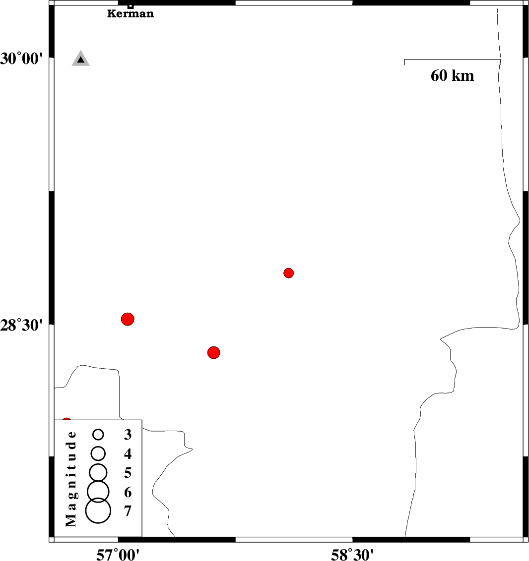
| 2012/06/27 | 23:18:26.6 | 03:48:26.6 | 28.79 | 58.09 | 18 | ML:2.8 | Kerman Province, 36 km North-East of Jiroft | ||
| 2012/06/26 | 18:16:12.1 | 22:46:12.1 | 27.94 | 56.67 | 14 | ML:3 | Hormozgan Province, 101 km West of Kahnuj | ||
| 2012/06/21 | 09:23:39.2 | 13:53:39.2 | 28.34 | 57.61 | 18 | ML:3.5 | Kerman Province, 39 km South-West of Jiroft | ||
| 2012/06/21 | 01:08:20.9 | 05:38:20.9 | 28.53 | 57.06 | 15 | ML:3.6 | Kerman Province, 68 km South-West of Jiroft |