
Magnitude |
:3.5 |
| Date & Time (UTC) | 2012-06-21 09:23:39.2 |
| Date & Time (Local) | 1391/4/1 13:53:39.2 |
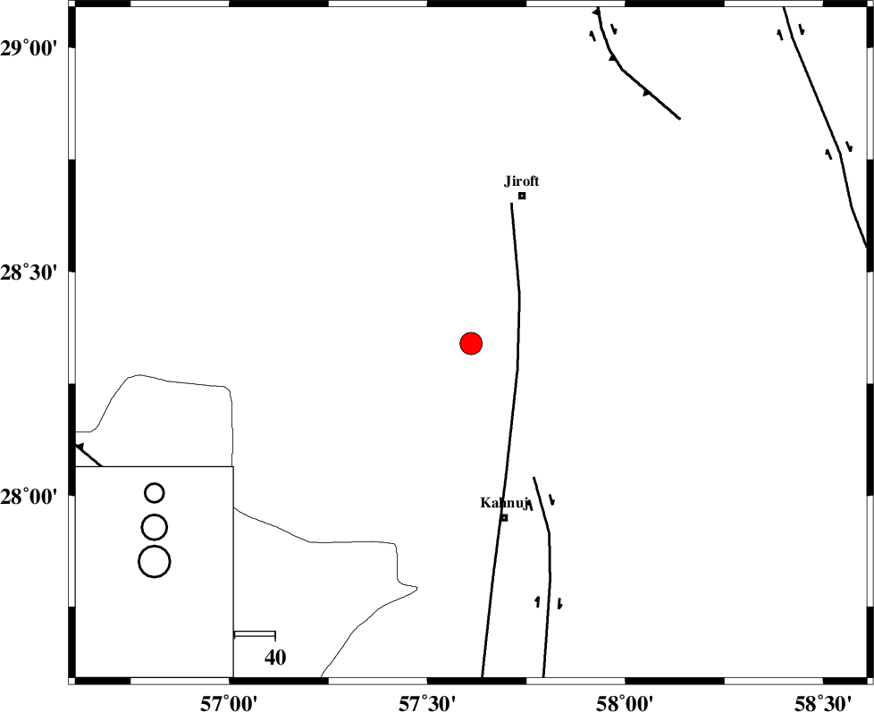
| Location | Lat:28.34 Lon: 57.61 |
| Region | Kerman Province, 39 km South-West of Jiroft |
Nearest Cities |
|
| 15 km North of Bolock, Kerman Province | |
| 27 km West of Aliabad-e qadiri, Kerman Province | |
| 28 km South of Khatunabad-e zangian, Kerman Province | |
| 28 km South West of Khesrabad, Kerman Province | |
| 33 km North East of Hurpasefid, Kerman Province | |
| Depth | 18 km |
| Agency | |
Faults within 150 km: |
|
| SABZEVARAN_F (Length: 190 km) , Distance to epicenter: 13 km | |
| JIROFT_F (Length: 144 km) , Distance to epicenter: 37 km | |
| GOWK_F (Length: 152 km) , Distance to epicenter: 76 km | |
| Number of Phases | 5 |
| RMS | 0.1 |
| Number of Stations | 3 |
| Error in Latitude | >4.8 km |
| Error in Longitude | 2.1 km |
| Error in Depth | 7.9 km |
Download waveform in seisan format
to download seisan software Click here
to access information about IIEES stations Click here
Amplitude | ||||||||
| UID | Agency | Station | Component | Amplitude | Period | Arrival Time | Proccessing Time | Signal Clip |
| 84210 | IIEES | KRBR | N | 439.4 | 0.2 | 2012-06-21 09:24:39 | 2012-06-21 09:52:00 | n |
| 84211 | IIEES | KRBR | E | 560.5 | 0.24 | 2012-06-21 09:24:40 | 2012-06-21 09:52:00 | n |
Phase | ||||||||||||
| Agency | Station | Component | Phase Type | Phase Quality | First Motion | Observed Arrival Time | Time Residual | Loc. Flag | Input Weight | Distance | Azimuth | |
| IIEES | KRBR | Z | Pn | E | 2012-06-21 09:24:11 | -0.25 | y | 200 | 336 | |||
| IIEES | KRBR | N | Sg | E | 2012-06-21 09:24:36 | 0.09 | y | 200 | 336 | |||
| IIEES | ZHSF | Z | Pn | E | 2012-06-21 09:24:28 | 0.01 | y | 339 | 65 | |||
| IIEES | ZHSF | N | Sg | E | 2012-06-21 09:25:14 | 0.04 | y | 339 | 65 | |||
| IIEES | GHIR | Z | Pn | E | 2012-06-21 09:24:43 | 0.15 | y | 454 | 270 | |||