
Magnitude |
:3.6 |
| Date & Time (UTC) | 2012-06-21 01:08:20.9 |
| Date & Time (Local) | 1391/4/1 05:38:20.9 |
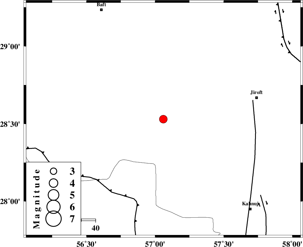
| Location | Lat:28.53 Lon: 57.06 |
| Region | Kerman Province, 68 km South-West of Jiroft |
Nearest Cities |
|
| 21 km South of Dolatabad, Kerman Province | |
| 28 km North East of Sarkhan, Kerman Province | |
| 45 km North West of Hurpasefid, Kerman Province | |
| 56 km North West of Faryab, Kerman Province | |
| 59 km North West of Bolock, Kerman Province | |
| Depth | 15 km |
| Agency | |
Faults within 150 km: |
|
| MAIN_ZAGROS_R_F (Length: 1106 km) , Distance to epicenter: 61 km | |
| SABZEVARAN_F (Length: 190 km) , Distance to epicenter: 65 km | |
| JIROFT_F (Length: 144 km) , Distance to epicenter: 88 km | |
| Number of Phases | 4 |
| RMS | 0 |
| Number of Stations | 3 |
| Error in Latitude | >4.1 km |
| Error in Longitude | 2.6 km |
| Error in Depth | 9 km |
Download waveform in seisan format
to download seisan software Click here
to access information about IIEES stations Click here
Amplitude | ||||||||
| UID | Agency | Station | Component | Amplitude | Period | Arrival Time | Proccessing Time | Signal Clip |
| 84197 | IIEES | KRBR | E | 1018.2 | 0.36 | 2012-06-21 01:09:17 | 2012-06-21 01:31:00 | n |
| 84198 | IIEES | KRBR | N | 718.8 | 0.24 | 2012-06-21 01:09:17 | 2012-06-21 01:31:00 | n |
| 84199 | IIEES | GHIR | N | 96.1 | 0.36 | 2012-06-21 01:10:32 | 2012-06-21 01:31:00 | n |
| 84200 | IIEES | GHIR | E | 112.9 | 0.48 | 2012-06-21 01:10:34 | 2012-06-21 01:31:00 | n |
Phase | ||||||||||||
| Agency | Station | Component | Phase Type | Phase Quality | First Motion | Observed Arrival Time | Time Residual | Loc. Flag | Input Weight | Distance | Azimuth | |
| IIEES | KRBR | Z | Pg | E | 2012-06-21 01:08:48 | 0 | y | 164 | 350 | |||
| IIEES | KRBR | E | Sg | E | 2012-06-21 01:09:07 | -0.01 | y | 164 | 350 | |||
| IIEES | ZHSF | Z | P | E | 2012-06-21 01:09:15 | 0 | y | 381 | 71 | |||
| IIEES | GHIR | Z | P | E | 2012-06-21 01:09:18 | 0.01 | y | 400 | 267 | |||