
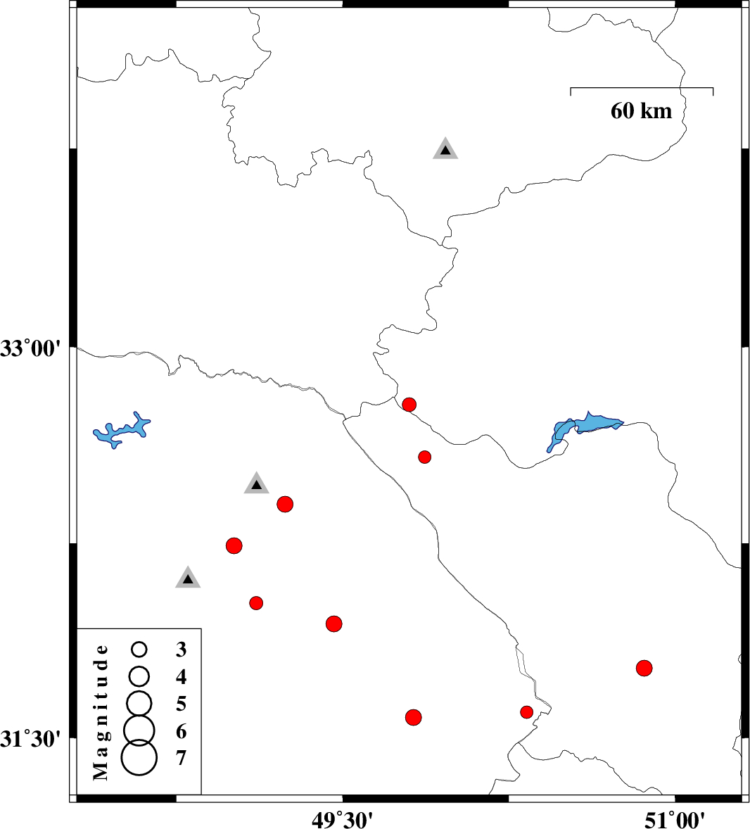
| Prel. Rep. | Date | Time(UTC) | Time(Local) | Lat. | Lon. | Depth | Mag. | Region | Waveform |
| 2011/10/19 | 16:26:33.0 | 19:56:33.0 | 32.78 | 49.8 | 15 | ML:2.8 | Esfahan Province, 34 km South-West of Fereydunshahr | ||
| 2011/10/16 | 01:05:25.6 | 04:35:25.6 | 32.02 | 49.11 | 14 | ML:2.7 | Khoozestan Province, 20 km West of Masjed Soleyman | ||
| 2011/10/11 | 00:40:22.7 | 04:10:22.7 | 32.24 | 49.01 | 14 | ML:3.3 | Khoozestan Province, 19 km South of Lali | ||
| 2011/10/09 | 21:45:00.6 | 01:15:00.6 | 32.58 | 49.87 | 18 | ML:2.5 | Chaharmahal Bakhtiari Province, 26 km North-West of Chelgard | ||
| 2011/10/07 | 09:24:20.8 | 12:54:20.8 | 32.4 | 49.24 | 14 | ML:3.2 | Khoozestan Province, 13 km East of Lali | ||
| 2011/10/05 | 17:26:38.8 | 20:56:38.8 | 31.58 | 49.82 | 17 | ML:3.3 | Khoozestan Province, 10 km Bagh Malek | ||
| 2011/10/02 | 01:28:32.9 | 04:58:32.9 | 31.77 | 50.86 | 14 | ML:3.3 | Chaharmahal Bakhtiari Province, 30 km North of Lordegan | ||
| 2011/09/22 | 21:40:48.1 | 01:10:48.1 | 31.6 | 50.33 | 14 | ML:2.5 | Khoozestan Province, 42 km East of Bagh Malek | ||
| 2011/09/20 | 00:49:37.4 | 05:19:37.4 | 31.94 | 49.46 | 16 | ML:3.2 | Khoozestan Province, 14 km East of Masjed Soleyman |