
| Prel. Rep. | Date | Time(UTC) | Time(Local) | Lat. | Lon. | Depth | Mag. | Region | Waveform |
| 2015/09/23 | 18:00:56.5 | 21:30:56.5 | 31.622 | 50.96 | 14 | ML:3.6 | Chaharmahal Bakhtiari Province, 20 km North-East of Lordegan | ||
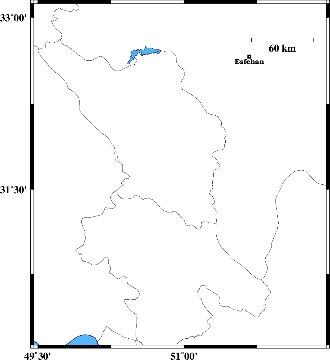
| 2015/09/23 | 08:45:20.9 | 12:15:20.9 | 31.607 | 49.919 | 17 | ML:4.2 | Khoozestan Province, 10 km of Bagh Malek | ||
| 2015/09/20 | 21:32:35.6 | 02:02:35.6 | 30.127 | 51.769 | 14 | ML:2.5 | Fars Province, 24 km -East of Nurabad | ||
| 2015/09/20 | 19:04:45.5 | 23:34:45.5 | 30.234 | 51.833 | 18 | ML:3 | Fars Province, 15 km -West of Ardakan | ||
| 2015/09/20 | 13:28:48.8 | 17:58:48.8 | 32.559 | 51.857 | 14 | ML:2.3 | Esfahan Province, 21 km South-East of Esfahan | ||
| 2015/09/19 | 02:04:00.3 | 06:34:00.3 | 30.752 | 50.377 | 14 | ML:3.1 | Kohkiluieh va boyerahmad Province, 18 km -West of Dehdasht | ||
| 2015/09/17 | 01:27:13.7 | 05:57:13.7 | 31.705 | 51.18 | 15 | ML:2.5 | Chaharmahal Bakhtiari Province, 31 km South-West of Borujen | ||
| 2015/09/17 | 01:11:42.0 | 05:41:42.0 | 31.878 | 50.923 | 15 | ML:3 | Chaharmahal Bakhtiari Province, 28 km South-East of Ardel |