
| Prel. Rep. | Date | Time(UTC) | Time(Local) | Lat. | Lon. | Depth | Mag. | Region | Waveform |
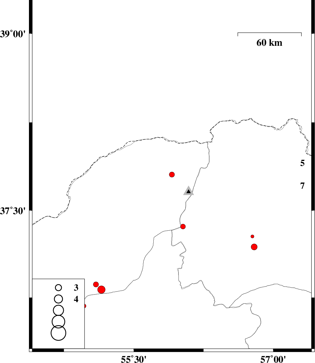
| 2015/09/07 | 11:25:04.5 | 15:55:04.5 | 37.807 | 55.91 | 14 | ML:2.6 | Golestan Province, 60 km North-East of Kalaleh | ||
| 2015/09/05 | 05:27:49.4 | 09:57:49.4 | 36.864 | 55.095 | 14 | ML:2.5 | Golestan Province, 17 km South of Ramian | ||
| 2015/09/03 | 21:10:34.5 | 01:40:34.5 | 36.677 | 54.965 | 14 | ML:2 | Semnan Province, 29 km North of Shahrud | ||
| 2015/09/02 | 04:21:40.8 | 08:51:40.8 | 37.362 | 56.029 | 14 | ML:2.4 | Khorasan(north) Province, 47 km -East of Kalaleh | ||
| 2015/08/31 | 16:05:20.7 | 20:35:20.7 | 36.819 | 55.153 | 6 | ML:3.7 | Golestan Province, 22 km South of Ramian | ||
| 2015/08/31 | 02:20:48.1 | 06:50:48.1 | 37.187 | 56.795 | 16 | ML:2.9 | Khorasan(north) Province, 42 km South-West of Ashkhaneh | ||
| 2015/08/31 | 02:15:08.8 | 06:45:08.8 | 37.277 | 56.776 | 46 | ML:1.6 | Khorasan(north) Province, 34 km South-West of Ashkhaneh |