| Prel. Rep. | Date | Time(UTC) | Time(Local) | Lat. | Lon. | Depth | Mag. | Region | Waveform |
|
|
2006/09/22
|
17:45:03.4
|
21:15:03.4
| 29.27 | 56.42 | 15 |
ML:3.5
|
19 km West of Baft, Kerman Province | |
|
|
2006/09/21
|
14:21:47.7
|
17:51:47.7
| 28.78 | 57.38 | 41 |
ML:3.1
|
37 km North-West of Jiroft, Kerman Province | |
|
|
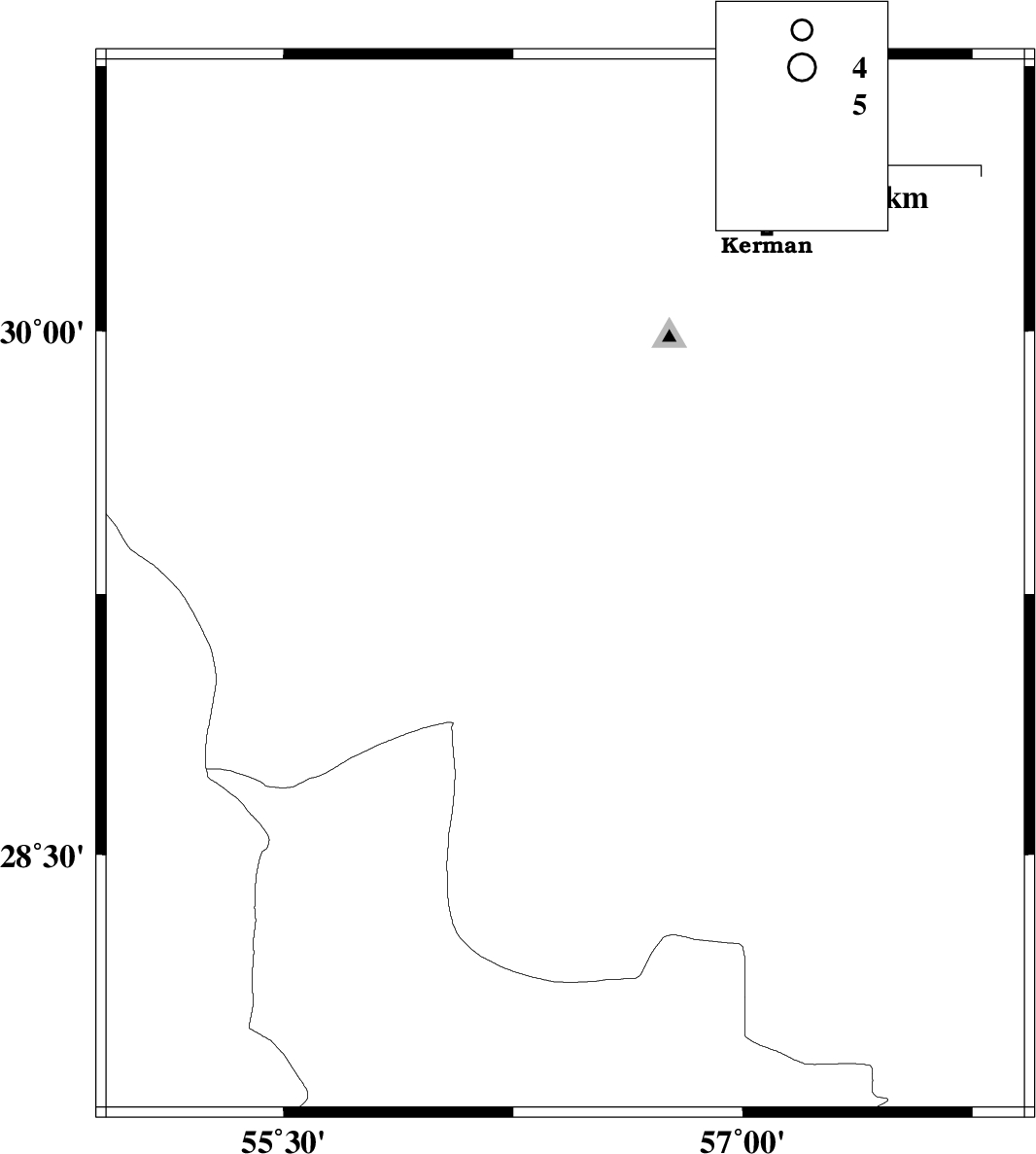
2006/09/20
|
19:34:02.5
|
23:04:02.5
| 30.56 | 57.36 | 11 |
ML:2.7
|
40 km North-East of Kerman, Kerman Province | |
|
|
2006/09/18
|
22:59:29.2
|
02:29:29.2
| 28.64 | 56.48 | 15 |
ML:3.4
|
67 km North-East of Hajiabad, Hormozgan Province | |
|
|
2006/09/12
|
16:29:32.8
|
19:59:32.8
| 27.93 | 57.31 | 46 |
ML:3.5
|
37 km West of Kahnuj, Kerman Province | |
|
|
2006/09/12
|
16:26:01.2
|
19:56:01.2
| 27.92 | 57.37 | 32 |
ML:3.5
|
31 km West of Kahnuj, Kerman Province | |
|
|
2006/09/11
|
04:34:18.3
|
08:04:18.3
| 30.68 | 56.95 | 18 |
ML:3
|
39 km South-East of Zarand, Kerman Province | |
|
|
2006/08/31
|
16:43:23.1
|
20:13:23.1
| 28.38 | 55.94 | 14 |
ML:3.3
|
9 km Hajiabad, Hormozgan Province | |
|
|
2006/08/31
|
02:28:30.2
|
05:58:30.2
| 30.27 | 57.44 | 15 |
ML:4
|
35 km East of Kerman, Kerman Province | |
|
|
2006/08/28
|
11:16:35.0
|
14:46:35.0
| 27.92 | 55.08 | 14 |
ML:2.7
|
77 km North-East of Lar, Fars Province | |