
| Prel. Rep. | Date | Time(UTC) | Time(Local) | Lat. | Lon. | Depth | Mag. | Region | Waveform |
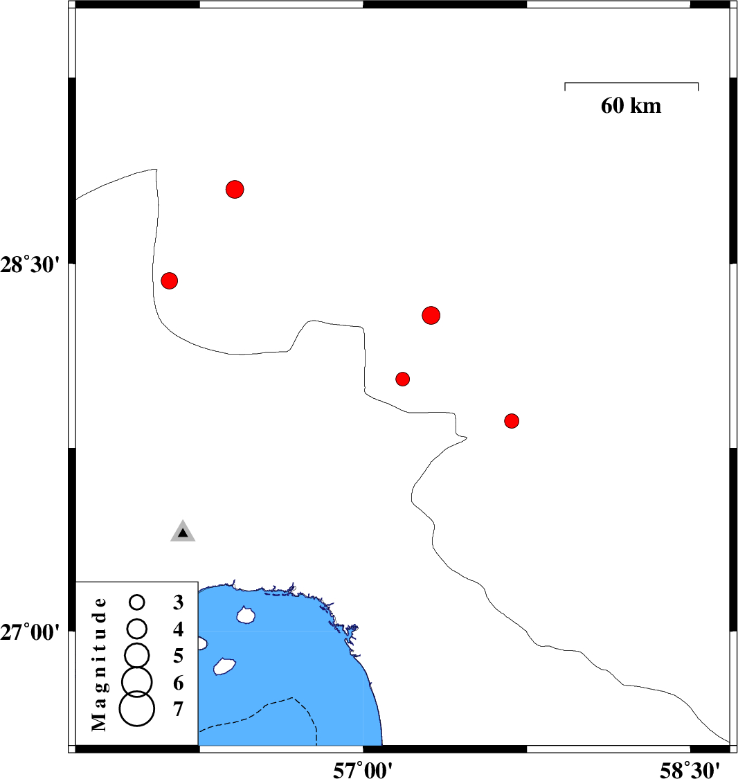
| 2015/06/08 | 07:39:28.7 | 12:09:28.7 | 28.03 | 57.18 | 18 | ML:2.8 | Kerman Province, 51 km West of Kahnuj | ||
| 2015/06/07 | 04:40:45.1 | 09:10:45.1 | 27.86 | 57.68 | 14 | ML:3 | Kerman Province, 11 km Kahnuj | ||
| 2015/06/05 | 14:40:37.9 | 19:10:37.9 | 28.29 | 57.31 | 18 | ML:3.7 | Kerman Province, 54 km North-West of Kahnuj | ||
| 2015/06/04 | 23:38:10.4 | 04:08:10.4 | 28.43 | 56.11 | 14 | ML:3.4 | Kerman Province, 25 km North-East of Hajiabad | ||
| 2015/06/02 | 01:30:42.7 | 06:00:42.7 | 28.8 | 56.41 | 15 | ML:3.7 | Kerman Province, 52 km South-West of Baft |