
| Prel. Rep. | Date | Time(UTC) | Time(Local) | Lat. | Lon. | Depth | Mag. | Region | Waveform |
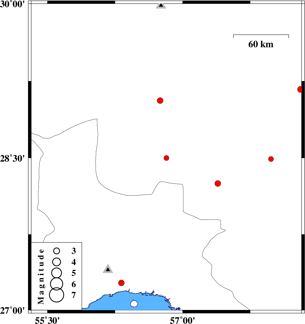
| 2015/05/21 | 02:12:04.1 | 06:42:04.1 | 28.5 | 56.82 | 17 | ML:2.6 | Kerman Province, 84 km South-East of Baft | ||
| 2015/05/20 | 18:44:27.8 | 23:14:27.8 | 28.25 | 57.39 | 18 | ML:2.9 | Kerman Province, 45 km North-West of Kahnuj | ||
| 2015/05/20 | 01:16:29.4 | 05:46:29.4 | 29.17 | 58.31 | 14 | ML:3.1 | Kerman Province, 8 km Bam | ||
| 2015/05/16 | 20:39:35.4 | 01:09:35.4 | 29.06 | 56.75 | 16 | ML:3 | Kerman Province, 24 km South-East of Baft | ||
| 2015/05/15 | 16:45:06.7 | 21:15:06.7 | 27.27 | 56.32 | 20 | ML:3 | Hormozgan Province, 10 km Bandar-e abbas | ||
| 2015/05/15 | 00:31:41.0 | 05:01:41.0 | 28.49 | 57.98 | 15 | ML:2.6 | Kerman Province, 31 km South-East of Jiroft |