
Magnitude |
:2.6 |
| Date & Time (UTC) | 2015-05-21 02:12:04.1 |
| Date & Time (Local) | 1394/2/31 06:42:04.1 |
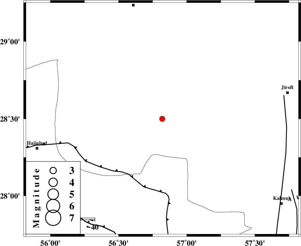
| Location | Lat:28.5 Lon: 56.82 |
| Region | Kerman Province, 84 km South-East of Baft |
Nearest Cities |
|
| 18 km North of Sarkhan, Kerman Province | |
| 35 km South West of Dolatabad, Kerman Province | |
| 43 km North East of Shahmaran, Kerman Province | |
| 45 km North East of Arzuieeh, Kerman Province | |
| 55 km South East of Kashkueyeh, Kerman Province | |
| Depth | 17 km |
| Agency | |
Faults within 150 km: |
|
| MAIN_ZAGROS_R_F (Length: 1106 km) , Distance to epicenter: 47 km | |
| SABZEVARAN_F (Length: 190 km) , Distance to epicenter: 89 km | |
| HZF2 (Length: 437 km) , Distance to epicenter: 89 km | |
| Number of Phases | 5 |
| RMS | 0 |
| Number of Stations | 3 |
| Error in Latitude | >3.7 km |
| Error in Longitude | 7.5 km |
| Error in Depth | 4.6 km |
Download waveform in seisan format
to download seisan software Click here
to access information about IIEES stations Click here
Amplitude | ||||||||
| UID | Agency | Station | Component | Amplitude | Period | Arrival Time | Proccessing Time | Signal Clip |
| 95756 | IIEES | BNDS | E | 123.5 | 0.52 | 2015-05-21 02:12:45 | 2015-05-21 03:59:00 | n |
| 95757 | IIEES | BNDS | N | 123.7 | 0.28 | 2015-05-21 02:12:46 | 2015-05-21 03:59:00 | n |
Phase | ||||||||||||
| Agency | Station | Component | Phase Type | Phase Quality | First Motion | Observed Arrival Time | Time Residual | Loc. Flag | Input Weight | Distance | Azimuth | |
| IIEES | BNDS | Z | Pg | E | 2015-05-21 02:12:27 | 0.05 | y | 137 | 208 | |||
| IIEES | BNDS | E | Sg | E | 2015-05-21 02:12:43 | -0.04 | y | 137 | 208 | |||
| IIEES | KRBR | Z | Pn | E | 2015-05-21 02:12:32 | 0 | y | 164 | 358 | |||
| IIEES | BSRN | Z | Pn | E | 2015-05-21 02:13:06 | 0 | y | 444 | 29 | |||
| IIEES | BSRN | E | Sg | E | 2015-05-21 02:14:07 | -0.01 | y | 444 | 29 | |||