
| Prel. Rep. | Date | Time(UTC) | Time(Local) | Lat. | Lon. | Depth | Mag. | Region | Waveform |
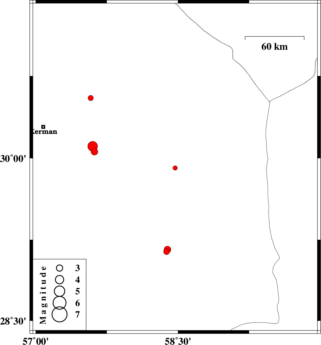
| 2015/03/18 | 06:34:09.7 | 10:04:09.7 | 29.91 | 58.47 | 18 | ML:2.1 | Kerman Province, 90 km North-East of Bam | ||
| 2015/03/06 | 08:59:52.7 | 12:29:52.7 | 29.14 | 58.38 | 14 | ML:2.8 | Kerman Province, 4 km Bam | ||
| 2015/03/06 | 08:49:55.0 | 12:19:55.0 | 29.16 | 58.39 | 14 | ML:3.3 | Kerman Province, 7 km Bam | ||
| 2015/03/05 | 22:35:44.1 | 02:05:44.1 | 28.44 | 57.05 | 14 | ML:2.8 | Kerman Province, 72 km South-West of Jiroft | ||
| 2015/02/22 | 15:20:20.8 | 18:50:20.8 | 30.55 | 57.58 | 17 | ML:2.6 | Kerman Province, 56 km North-East of Kerman | ||
| 2015/02/19 | 14:11:11.2 | 17:41:11.2 | 30.06 | 57.62 | 14 | ML:3.3 | Kerman Province, 58 km South-East of Kerman | ||
| 2015/02/17 | 13:41:37.4 | 17:11:37.4 | 30.11 | 57.6 | 14 | ML:4.6 | Kerman Province, 53 km South-East of Kerman |