| Prel. Rep. | Date | Time(UTC) | Time(Local) | Lat. | Lon. | Depth | Mag. | Region | Waveform |
|
|
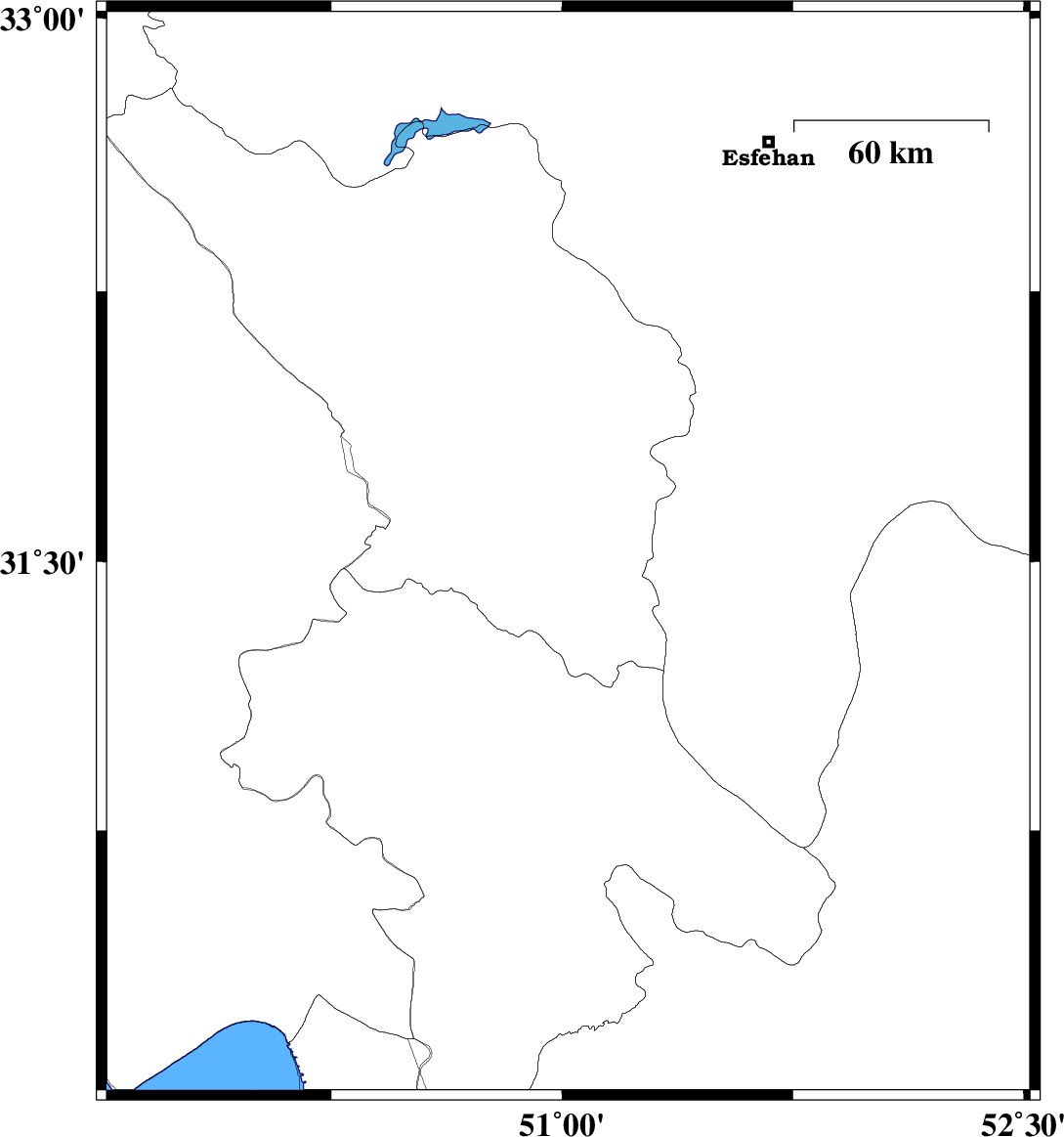
2015/02/25
|
09:03:33.5
|
12:33:33.5
| 31.52 | 51.02 | 14 |
ML:2.8
|
Chaharmahal Bakhtiari Province, 21 km East of Lordegan | |
|
|
2015/02/25
|
08:42:58.0
|
12:12:58.0
| 31.59 | 51.02 | 14 |
ML:3.6
|
Chaharmahal Bakhtiari Province, 22 km East of Lordegan | |
|
|
2015/02/25
|
08:34:49.1
|
12:04:49.1
| 31.86 | 50.98 | 18 |
ML:4.1
|
Chaharmahal Bakhtiari Province, 32 km South-West of Borujen | |
|
|
2015/02/24
|
10:57:03.2
|
14:27:03.2
| 30.59 | 50.46 | 14 |
ML:3.2
|
Khoozestan Province, 20 km East of Behbahan | |
|
|
2015/02/24
|
07:33:04.3
|
11:03:04.3
| 30.61 | 50.46 | 14 |
ML:2.8
|
Khoozestan Province, 21 km East of Behbahan | |
|
|
2015/02/23
|
18:22:12.7
|
21:52:12.7
| 31.98 | 49.84 | 14 |
ML:2.7
|
Khoozestan Province, 16 km North of Izeh | |
|
|
2015/02/09
|
21:55:09.1
|
01:25:09.1
| 32.26 | 49.6 | 18 |
ML:3.1
|
Khoozestan Province, 48 km South-East of Lali | |
|
|
2015/02/08
|
19:50:05.7
|
23:20:05.7
| 31.6 | 50.01 | 14 |
ML:3.4
|
Khoozestan Province, 14 km East of Bagh Malek | |
|
|
2015/02/08
|
19:41:40.5
|
23:11:40.5
| 31.76 | 50.04 | 15 |
ML:3.4
|
Khoozestan Province, 18 km East of Izeh | |
|
|
2015/02/08
|
19:02:49.5
|
22:32:49.5
| 31.73 | 50.04 | 16 |
ML:3
|
Khoozestan Province, 20 km South-East of Izeh | |
|
|
2015/02/02
|
00:59:27.0
|
04:29:27.0
| 30.51 | 50.74 | 15 |
ML:3.6
|
Kohkiluieh va boyerahmad Province, 18 km North of Dogonbadan | |
