
| Prel. Rep. | Date | Time(UTC) | Time(Local) | Lat. | Lon. | Depth | Mag. | Region | Waveform |
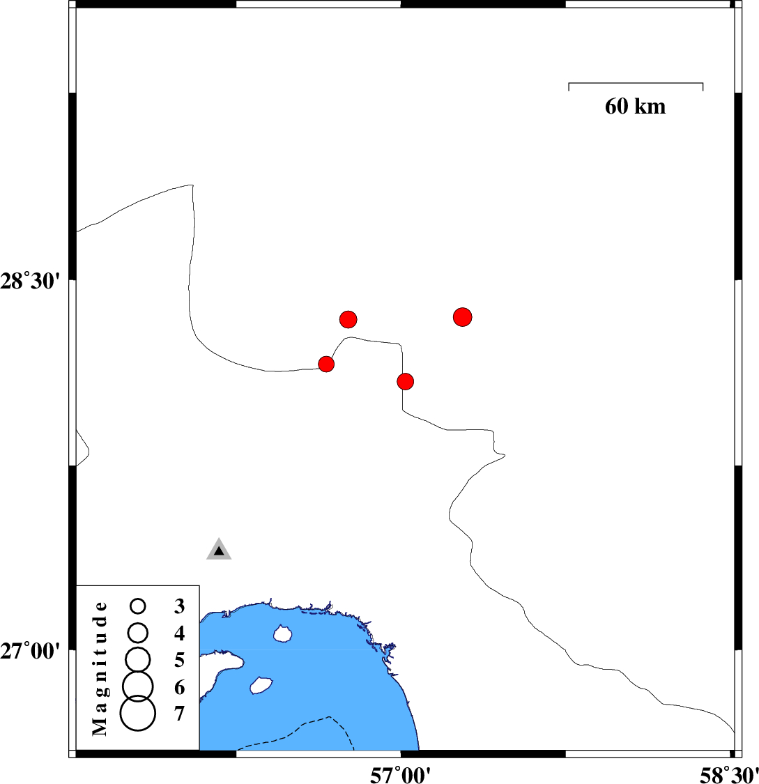
| 2014/12/10 | 11:53:48.7 | 15:23:48.7 | 28.09 | 57.02 | 44 | ML:3.4 | Kerman Province, 68 km North-West of Kahnuj | ||
| 2014/12/08 | 22:37:43.3 | 02:07:43.3 | 28.16 | 56.66 | 18 | ML:3.3 | Kerman Province, 76 km South-East of Hajiabad | ||
| 2014/12/08 | 22:34:08.7 | 02:04:08.7 | 28.34 | 56.76 | 14 | ML:3.5 | Kerman Province, 84 km East of Hajiabad | ||
| 2014/12/05 | 00:20:27.5 | 03:50:27.5 | 28.35 | 57.28 | 14 | ML:3.8 | Kerman Province, 57 km South-West of Jiroft |