
| Prel. Rep. | Date | Time(UTC) | Time(Local) | Lat. | Lon. | Depth | Mag. | Region | Waveform |
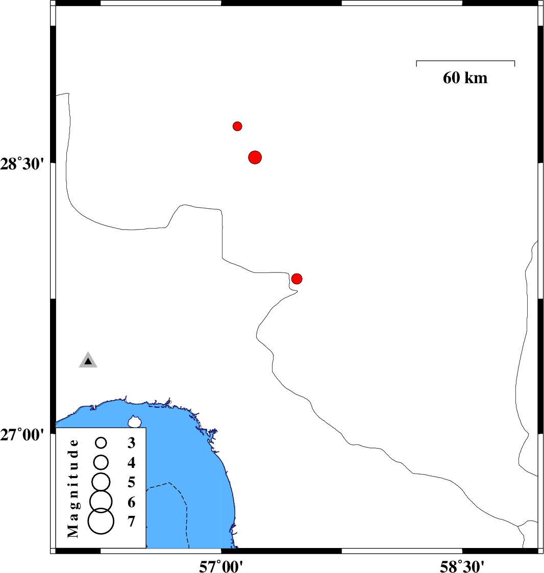
| 2014/10/07 | 17:49:49.6 | 21:19:49.6 | 27.86 | 57.47 | 14 | ML:2.9 | Kerman Province, 24 km West of Kahnuj | ||
| 2014/10/06 | 22:45:12.7 | 02:15:12.7 | 28.7 | 57.1 | 38 | ML:2.6 | Kerman Province, 63 km West of Jiroft | ||
| 2014/10/04 | 06:28:37.1 | 09:58:37.1 | 28.53 | 57.21 | 14 | ML:3.7 | Kerman Province, 54 km South-West of Jiroft |