
Magnitude |
:2.6 |
| Date & Time (UTC) | 2014-10-06 22:45:12.7 |
| Date & Time (Local) | 1393/7/15 02:15:12.7 |
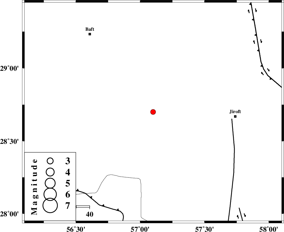
| Location | Lat:28.7 Lon: 57.1 |
| Region | Kerman Province, 63 km West of Jiroft |
Nearest Cities |
|
| 3 km of Dolatabad, Kerman Province | |
| 41 km South West of Eslamabad, Kerman Province | |
| 45 km North East of Sarkhan, Kerman Province | |
| 55 km South East of Kashkueyeh, Kerman Province | |
| 59 km South West of Delfard, Kerman Province | |
| Depth | 38 km |
| Agency | |
Faults within 150 km: |
|
| SABZEVARAN_F (Length: 190 km) , Distance to epicenter: 60 km | |
| MAIN_ZAGROS_R_F (Length: 1106 km) , Distance to epicenter: 80 km | |
| GOWK_F (Length: 152 km) , Distance to epicenter: 90 km | |
| Number of Phases | 6 |
| RMS | 0.1 |
| Number of Stations | 3 |
| Error in Latitude | >1.5 km |
| Error in Longitude | 3.8 km |
| Error in Depth | 3.1 km |
Download waveform in seisan format
to download seisan software Click here
to access information about IIEES stations Click here
Amplitude | ||||||||
| UID | Agency | Station | Component | Amplitude | Period | Arrival Time | Proccessing Time | Signal Clip |
| 93782 | IIEES | KRBR | N | 98.8 | 0.16 | 2014-10-06 22:45:56 | 2014-10-06 11:38:00 | n |
| 93783 | IIEES | BNDS | E | 68.6 | 0.48 | 2014-10-06 22:46:03 | 2014-10-06 11:38:00 | n |
| 93784 | IIEES | BNDS | N | 56.9 | 0.32 | 2014-10-06 22:46:07 | 2014-10-06 11:38:00 | n |
Phase | ||||||||||||
| Agency | Station | Component | Phase Type | Phase Quality | First Motion | Observed Arrival Time | Time Residual | Loc. Flag | Input Weight | Distance | Azimuth | |
| IIEES | KRBR | Z | Pn | E | 2014-10-06 22:45:36 | -0.22 | y | 146 | 347 | |||
| IIEES | KRBR | N | Sg | E | 2014-10-06 22:45:54 | 0.1 | y | 146 | 347 | |||
| IIEES | BNDS | Z | Pn | E | 2014-10-06 22:45:39 | 0.17 | y | 171 | 212 | |||
| IIEES | BNDS | E | Sg | E | 2014-10-06 22:46:01 | -0.09 | y | 171 | 212 | |||
| IIEES | BSRN | Z | Pn | E | 2014-10-06 22:46:09 | 0.07 | y | 411 | 28 | |||
| IIEES | BSRN | N | Sg | E | 2014-10-06 22:47:04 | -0.04 | y | 411 | 28 | |||