
| Prel. Rep. | Date | Time(UTC) | Time(Local) | Lat. | Lon. | Depth | Mag. | Region | Waveform |
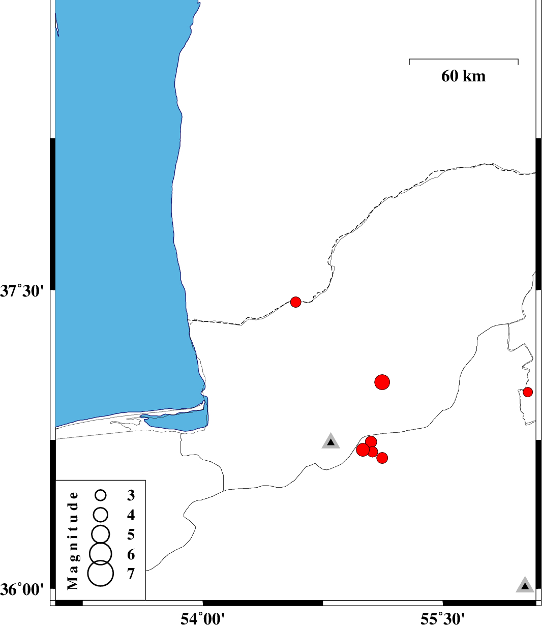
| 2014/06/26 | 16:22:08.6 | 20:52:08.6 | 37.44 | 54.58 | 14 | ML:3 | Golestan Province, 48 km North-East of Aq Qaleh | ||
| 2014/06/14 | 09:18:28.4 | 13:48:28.4 | 36.99 | 56.03 | 14 | ML:2.7 | Khorasan(north) Province, 32 km West of Jajarm | ||
| 2014/06/13 | 09:12:25.2 | 13:42:25.2 | 37.04 | 55.12 | 14 | ML:4.3 | Golestan Province, 4 km Ramian | ||
| 2014/06/06 | 12:54:29.6 | 17:24:29.6 | 36.7 | 55 | 17 | ML:3.6 | Semnan Province, 31 km North of Shahrud | ||
| 2014/06/01 | 19:03:48.9 | 23:33:48.9 | 36.69 | 55.06 | 15 | ML:2.9 | Semnan Province, 31 km North of Shahrud | ||
| 2014/06/01 | 18:46:11.8 | 23:16:11.8 | 36.66 | 55.12 | 18 | ML:3.1 | Semnan Province, 39 km South of Ramian | ||
| 2014/06/01 | 18:38:50.8 | 23:08:50.8 | 36.74 | 55.05 | 15 | ML:3.3 | Semnan Province, 24 km South-East of Ali Abad |