
| Prel. Rep. | Date | Time(UTC) | Time(Local) | Lat. | Lon. | Depth | Mag. | Region | Waveform |
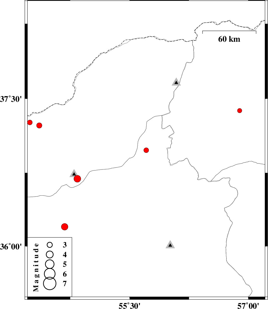
| 2014/02/15 | 19:26:33.3 | 22:56:33.3 | 35.53 | 54.52 | 14 | ML:2.5 | Semnan Province, 72 km South-East of Damghan | ||
| 2014/02/15 | 12:28:08.3 | 15:58:08.3 | 36.98 | 55.71 | 29 | ML:2.8 | Semnan Province, 40 km South-East of Minodasht | ||
| 2014/02/15 | 07:58:03.0 | 11:28:03.0 | 37.38 | 56.89 | 18 | ML:2.5 | Khorasan(north) Province, 19 km South of Ashkhaneh | ||
| 2014/01/26 | 07:31:23.8 | 11:01:23.8 | 37.23 | 54.36 | 15 | ML:3.1 | Golestan Province, 25 km North of Aq Qaleh | ||
| 2014/01/25 | 09:14:35.2 | 12:44:35.2 | 36.2 | 54.68 | 7 | ML:3.8 | Semnan Province, 30 km East of Damghan | ||
| 2014/01/21 | 03:56:20.9 | 07:26:20.9 | 37.26 | 54.24 | 18 | ML:2.8 | Golestan Province, 33 km North-West of Aq Qaleh | ||
| 2014/01/20 | 09:58:15.5 | 13:28:15.5 | 36.69 | 54.84 | 14 | ML:3.9 | Golestan Province, 25 km South of Ali Abad |