
| Prel. Rep. | Date | Time(UTC) | Time(Local) | Lat. | Lon. | Depth | Mag. | Region | Waveform |
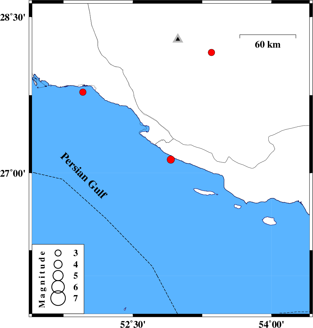
| 2012/11/24 | 10:52:18.5 | 14:22:18.5 | 27.13 | 52.91 | 18 | ML:3.6 | Persian Gulf, 46 km South of Mehr | ||
| 2012/11/16 | 04:57:48.3 | 08:27:48.3 | 27.78 | 51.96 | 15 | ML:3.2 | Persian Gulf, 12 km West of Bandar-e kangan | ||
| 2012/11/14 | 08:21:01.0 | 11:51:01.0 | 28.16 | 53.35 | 6 | ML:3.2 | Fars Province, 42 km South-West of Jahrom |