
| Prel. Rep. | Date | Time(UTC) | Time(Local) | Lat. | Lon. | Depth | Mag. | Region | Waveform |
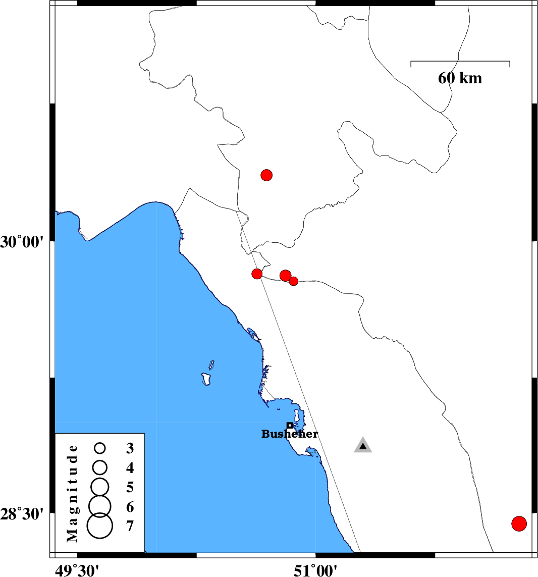
| 2012/06/04 | 19:04:19.9 | 23:34:19.9 | 29.82 | 50.63 | 46 | ML:2.9 | Bushehr Province, 29 km North-East of Bandar-e genaveh | ||
| 2012/06/04 | 13:46:45.1 | 18:16:45.1 | 29.78 | 50.86 | 44 | ML:2.6 | Fars Province, 41 km North-East of Bandar-e genaveh | ||
| 2012/06/04 | 13:40:31.7 | 18:10:31.7 | 29.81 | 50.81 | 40 | ML:3.2 | Fars Province, 38 km North-East of Bandar-e genaveh | ||
| 2012/06/01 | 09:34:34.8 | 14:04:34.8 | 30.36 | 50.69 | 43 | ML:3.2 | Kohkiluieh va boyerahmad Province, 9 km Dogonbadan | ||
| 2012/05/30 | 06:55:44.7 | 11:25:44.7 | 28.44 | 52.28 | 37 | ML:4.3 | Fars Province, 51 km South-East of Farashband |