
| Prel. Rep. | Date | Time(UTC) | Time(Local) | Lat. | Lon. | Depth | Mag. | Region | Waveform |
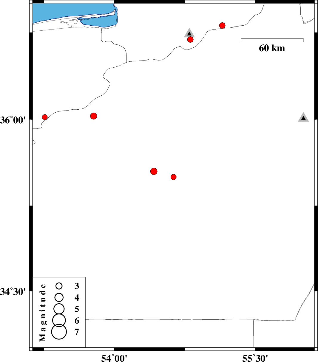
| 2010/11/15 | 16:41:06.2 | 20:11:06.2 | 35.5 | 54.63 | 15 | ML:2.7 | Semnan Province, 78 km South-East of Damghan | ||
| 2010/11/15 | 04:57:12.1 | 08:27:12.1 | 36.02 | 53.26 | 14 | ML:2.6 | Mazandaran Province, 21 km East of Pol-E-Sefid | ||
| 2010/11/04 | 21:23:13.3 | 00:53:13.3 | 36.03 | 53.78 | 16 | ML:3.1 | Semnan Province, 53 km South-West of Damghan | ||
| 2010/11/02 | 12:06:03.0 | 15:36:03.0 | 36.69 | 54.81 | 14 | ML:2.8 | Golestan Province, 25 km South of Ali Abad | ||
| 2010/10/24 | 06:15:20.1 | 09:45:20.1 | 36.81 | 55.15 | 14 | ML:2.8 | Golestan Province, 23 km South of Ramian | ||
| 2010/10/21 | 06:51:19.0 | 10:21:19.0 | 35.55 | 54.42 | 14 | ML:3.2 | Semnan Province, 69 km South of Damghan |