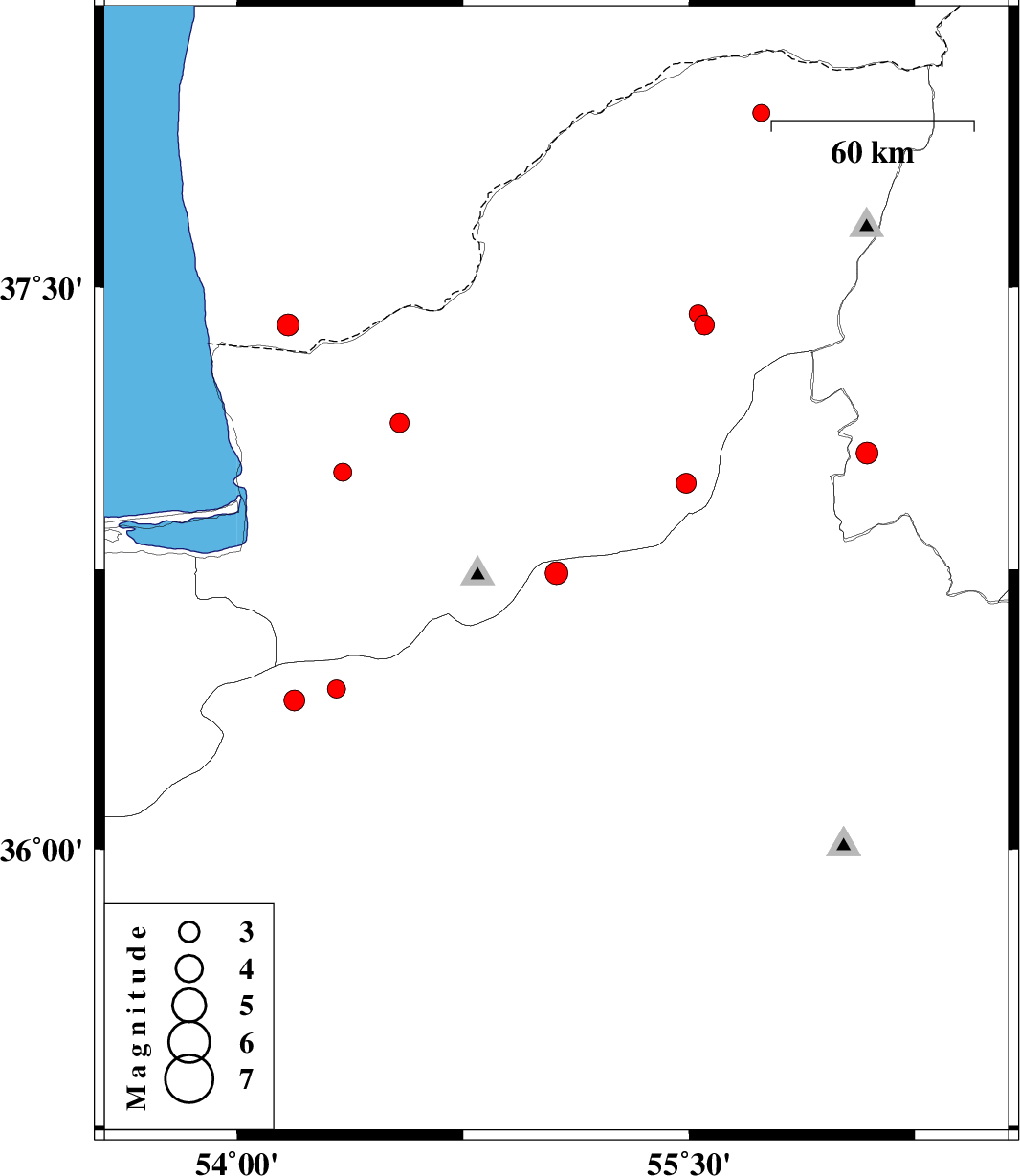
| Prel. Rep. | Date | Time(UTC) | Time(Local) | Lat. | Lon. | Depth | Mag. | Region | Waveform |
|
|
2010/08/24
|
07:07:01.0
|
11:37:01.0
| 36.74 | 55.06 | 15 |
ML:3.4
|
Semnan Province, 31 km South of Ramian | |
|
|
2010/08/22
|
10:40:47.2
|
15:10:47.2
| 37.4 | 55.55 | 14 |
ML:2.9
|
Golestan Province, 6 km Kalaleh | |
|
|
2010/08/21
|
00:17:06.1
|
04:47:06.1
| 37.43 | 55.53 | 15 |
ML:2.7
|
Golestan Province, 6 km Kalaleh | |
|
|
2010/08/20
|
21:01:14.2
|
01:31:14.2
| 36.43 | 54.33 | 15 |
ML:2.7
|
Semnan Province, 30 km North of Damghan | |
|
|
2010/08/19
|
08:28:10.5
|
12:58:10.5
| 37.06 | 56.09 | 18 |
ML:3.3
|
Khorasan(north) Province, 29 km North-West of Jajarm | |
|
|
2010/08/04
|
21:12:24.4
|
01:42:24.4
| 36.98 | 55.49 | 6 |
ML:2.9
|
Golestan Province, 29 km South of Minodasht | |
|
|
2010/08/03
|
04:54:05.9
|
09:24:05.9
| 37.01 | 54.35 | 14 |
ML:2.7
|
Golestan Province, 10 km West of Aq Qaleh | |
|
|
2010/08/01
|
13:31:31.2
|
18:01:31.2
| 37.4 | 54.17 | 15 |
ML:3.3
|
57 km North of Bandar-e torkaman | |
|
|
2010/07/29
|
17:30:34.8
|
22:00:34.8
| 36.4 | 54.19 | 33 |
ML:3.1
|
Semnan Province, 30 km North-West of Damghan | |
|
|
2010/07/29
|
04:16:26.9
|
08:46:26.9
| 37.14 | 54.54 | 15 |
ML:2.8
|
Golestan Province, 16 km North of Aq Qaleh | |
|
|
2010/07/28
|
22:10:51.8
|
02:40:51.8
| 37.96 | 55.74 | 12 |
ML:2.6
|
Golestan Province, 68 km North-East of Kalaleh | |
