
Magnitude |
:2.7 |
| Date & Time (UTC) | 2010-08-21 00:17:06.1 |
| Date & Time (Local) | 1389/5/30 04:47:06.1 |
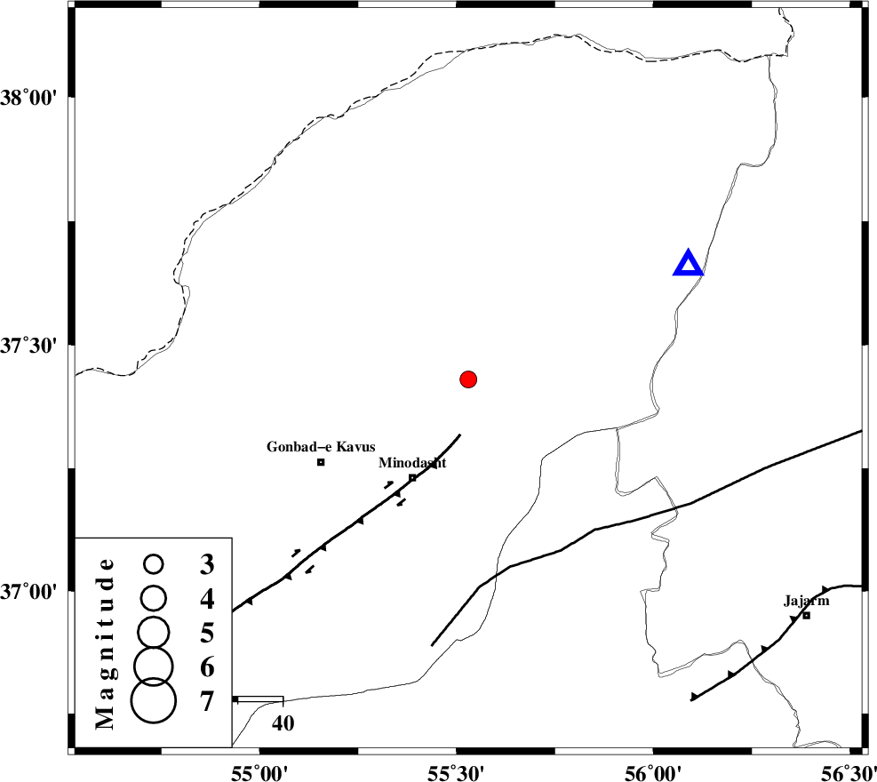
| Location | Lat:37.43 Lon: 55.53 |
| Region | Golestan Province, 6 km Kalaleh |
Nearest Cities |
|
| 3 km North of Ajen sangarli, Golestan Province | |
| 6 km of Tamarqarquzi-e sofla, Golestan Province | |
| 7 km North of Kalaleh, Golestan Province | |
| 11 km North of Aq qamish, Golestan Province | |
| 13 km of Pashikmar, Golestan Province | |
| Depth | 15 km |
| Agency | |
Faults within 150 km: |
|
| ROBATE_QARABIL_F (Length: 168 km) , Distance to epicenter: 43 km | |
| KHAZAR_F (Length: 523 km) , Distance to epicenter: 69 km | |
| SHAVAR_F (Length: 87 km) , Distance to epicenter: 78 km | |
| Number of Phases | 4 |
| RMS | 0 |
| Number of Stations | 3 |
| Error in Latitude | >4.6 km |
| Error in Longitude | 5.4 km |
| Error in Depth | 114.6 km |
Download waveform in seisan format
to download seisan software Click here
to access information about IIEES stations Click here
Amplitude | ||||||||
| UID | Agency | Station | Component | Amplitude | Period | Arrival Time | Proccessing Time | Signal Clip |
| 69500 | IIEES | MRVT | N | 765.1 | 0.24 | 2010-08-21 00:17:23 | 2010-08-29 12:45:00 | n |
| 69501 | IIEES | MRVT | E | 693.5 | 0.16 | 2010-08-21 00:17:23 | 2010-08-29 12:45:00 | n |
| 69502 | IIEES | BJRD | E | 62.6 | 0.32 | 2010-08-21 00:17:59 | 2010-08-29 12:45:00 | n |
Phase | ||||||||||||
| Agency | Station | Component | Phase Type | Phase Quality | First Motion | Observed Arrival Time | Time Residual | Loc. Flag | Input Weight | Distance | Azimuth | |
| IIEES | MRVT | Z | Pg | E | 2010-08-21 00:17:16 | 0 | y | 56 | 62 | |||
| IIEES | SHRO | Z | Pg | E | 2010-08-21 00:17:33 | 0 | y | 163 | 164 | |||
| IIEES | BJRD | Z | Pg | E | 2010-08-21 00:17:34 | 0 | y | 169 | 79 | |||
| IIEES | BJRD | E | Sg | E | 2010-08-21 00:17:54 | 0 | y | 169 | 79 | |||