
| Prel. Rep. | Date | Time(UTC) | Time(Local) | Lat. | Lon. | Depth | Mag. | Region | Waveform |
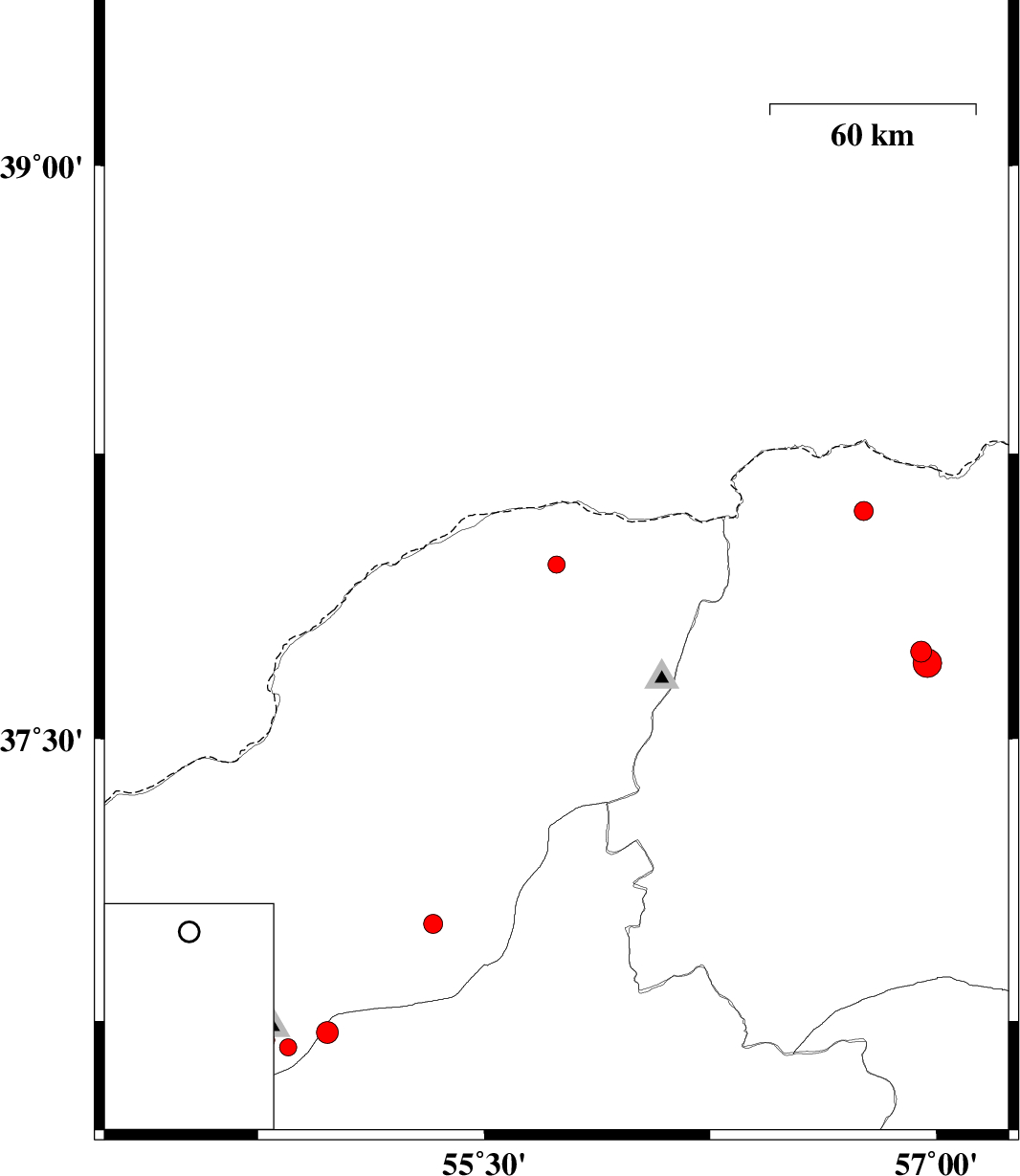
| 2010/07/28 | 22:10:51.8 | 02:40:51.8 | 37.96 | 55.74 | 12 | ML:2.6 | Golestan Province, 68 km North-East of Kalaleh | ||
| 2010/07/23 | 01:01:14.3 | 05:31:14.3 | 37.73 | 56.95 | 14 | ML:3.1 | Khorasan(north) Province, 20 km North of Ashkhaneh | ||
| 2010/07/23 | 00:56:40.9 | 05:26:40.9 | 37.7 | 56.97 | 9 | ML:4.2 | Khorasan(north) Province, 17 km North of Ashkhaneh | ||
| 2010/07/20 | 15:54:12.4 | 20:24:12.4 | 38.1 | 56.76 | 14 | ML:2.8 | Khorasan(north) Province, 64 km North-West of Ashkhaneh | ||
| 2010/07/05 | 07:25:00.6 | 11:55:00.6 | 36.68 | 54.85 | 14 | ML:2.6 | Golestan Province, 25 km South of Ali Abad | ||
| 2010/07/05 | 05:39:56.7 | 10:09:56.7 | 36.7 | 54.78 | 14 | ML:2.3 | Golestan Province, 25 km South of Ali Abad | ||
| 2010/07/05 | 05:03:09.7 | 09:33:09.7 | 36.72 | 54.98 | 24 | ML:3.2 | Semnan Province, 23 km South-East of Ali Abad | ||
| 2010/07/03 | 05:46:14.7 | 10:16:14.7 | 37.01 | 55.33 | 15 | ML:2.8 | Golestan Province, 16 km East of Ramian |